


Selma, IN
Selma, IN 47383
Selma Map
Selma is a town located in Liberty Township, Delaware County, Indiana. As of the 2010 census, the town had a total population of 866. It is part of the Muncie, IN Metropolitan Statistical Area.
Selma is located at 40°11'28" North, 85°16'21" West (40.191147, -85.272440). Indiana State Road 32 runs along the northern edge of the town.
According to the United States Census Bureau, the town has a total area of 0.9 square miles (2.2 km²), of which, 0.9 square miles (2.2 km²) of it is land and none of it is covered by water.
Nearby cities include Eaton, Yorktown, Redkey, Losantville, Modoc.
Places in Selma
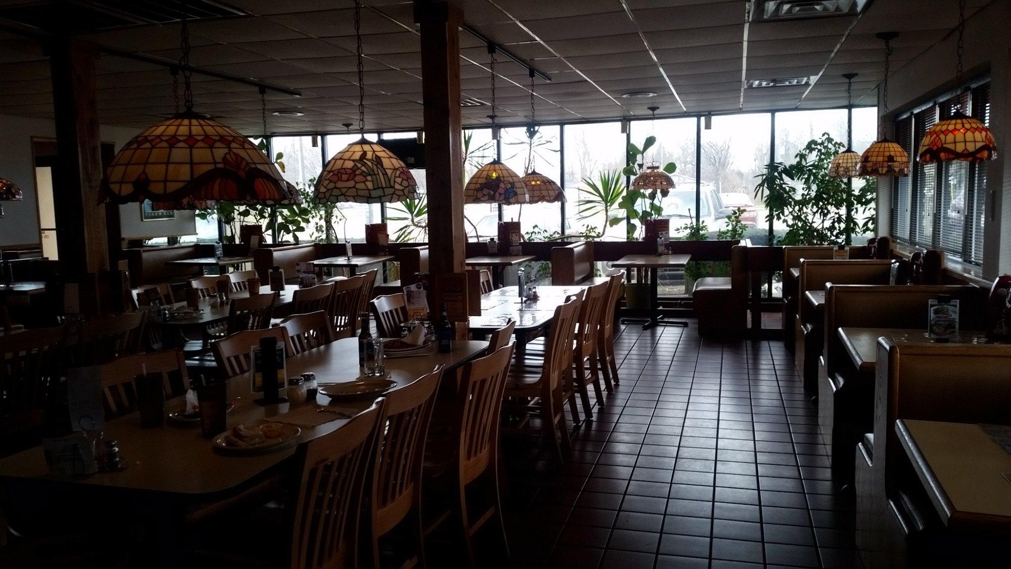
Dine and drink
Eat and drink your way through town.


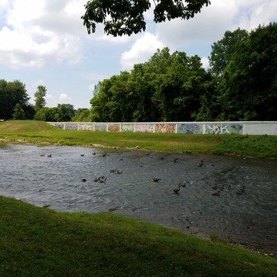
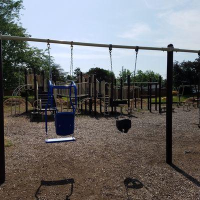
Can't-miss activities
Culture, natural beauty, and plain old fun.


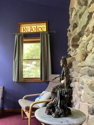
Places to stay
Hang your (vacation) hat in a place that’s just your style.


See a problem?