Roachdale, IN
Roachdale, IN Map
Roachdale is a US city in Putnam County in the state of Indiana. Located at the longitude and latitude of -86.800300, 39.850300 and situated at an elevation of 256 meters. In the 2020 United States Census, Roachdale, IN had a population of 840 people. Roachdale is in the Eastern Standard Time timezone at Coordinated Universal Time (UTC) -5. Find directions to Roachdale, IN, browse local businesses, landmarks, get current traffic estimates, road conditions, and more.
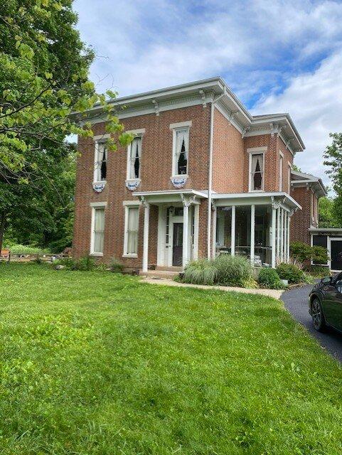
Roachdale, Indiana, is a small town that embodies the quintessential charm of rural America. Known for its tight-knit community and serene landscapes, Roachdale offers a glimpse into the heartland's simpler way of life. The town's history is deeply rooted in agriculture and the railroad, which played a significant role in its development in the late 19th century. Roachdale's historical significance is evident in its well-preserved architecture and local traditions that are still celebrated today.
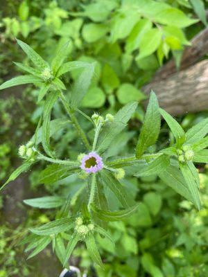
Visitors to Roachdale can enjoy a leisurely stroll through the town's quaint streets, where they will find local businesses and eateries that reflect the area's rich heritage. A popular spot in Roachdale is the community park, which is a hub for local events and gatherings, offering a peaceful setting for picnics and outdoor activities. Although Roachdale may not boast the grandeur of larger cities, it offers a welcoming atmosphere that is perfect for those looking to experience the warmth of small-town Indiana.
Nearby cities include: Ladoga, IN, Bainbridge, IN, North Salem, IN, New Ross, IN, New Market, IN, Russellville, IN, Jamestown, IN, Lake Holiday, IN, Fillmore, IN, Waveland, IN.
Places in Roachdale
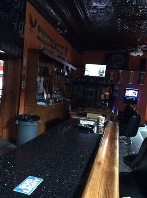
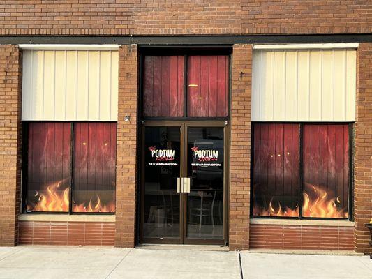
Dine and drink
Eat and drink your way through town.


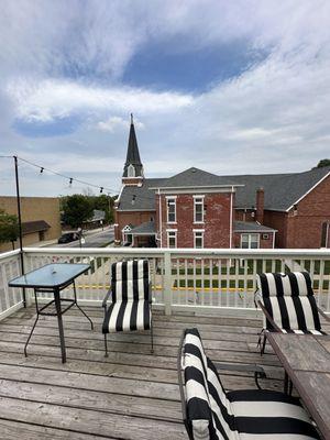
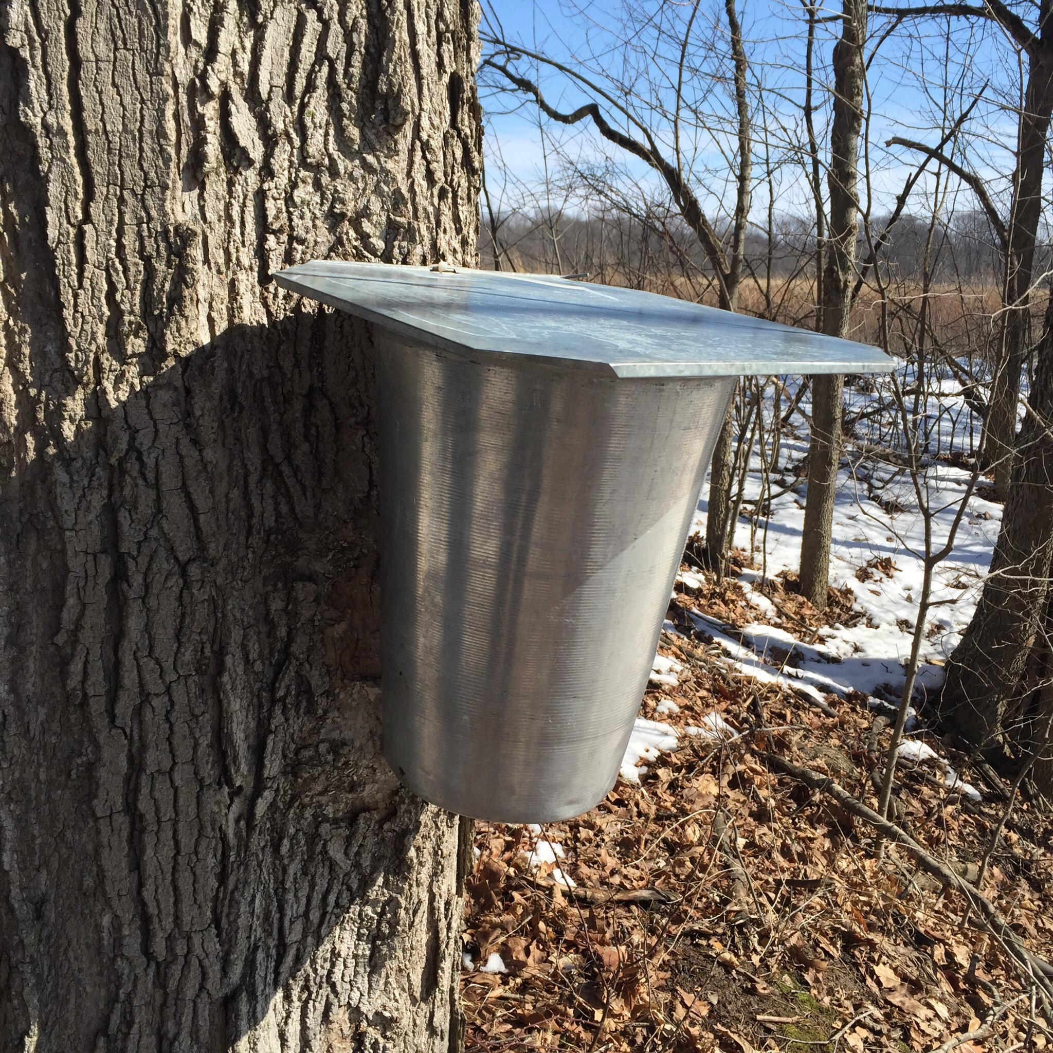
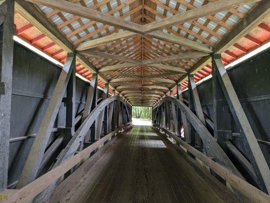
Can't-miss activities
Culture, natural beauty, and plain old fun.


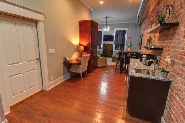
Places to stay
Hang your (vacation) hat in a place that’s just your style.