Ingalls, IN
Ingalls, IN Map
Ingalls is a US city in Madison County in the state of Indiana. Located at the longitude and latitude of -85.802500, 39.957500 and situated at an elevation of 264 meters. In the 2020 United States Census, Ingalls, IN had a population of 2,223 people. Ingalls is in the Eastern Standard Time timezone at Coordinated Universal Time (UTC) -5. Find directions to Ingalls, IN, browse local businesses, landmarks, get current traffic estimates, road conditions, and more.
Ingalls, Indiana, is a small town that offers a glimpse into classic Midwestern life, characterized by its welcoming community and tranquil surroundings. Known for its rich agricultural roots, Ingalls provides visitors with a serene escape from urban hustle. The town is most recognized for its annual festivals and community events that celebrate its heritage and local culture, fostering a strong sense of camaraderie among residents and visitors alike.
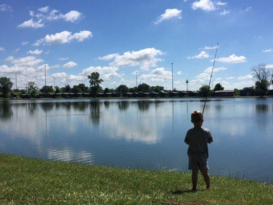
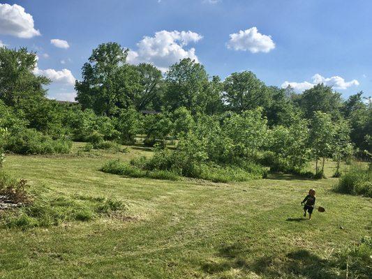
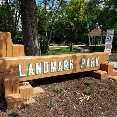
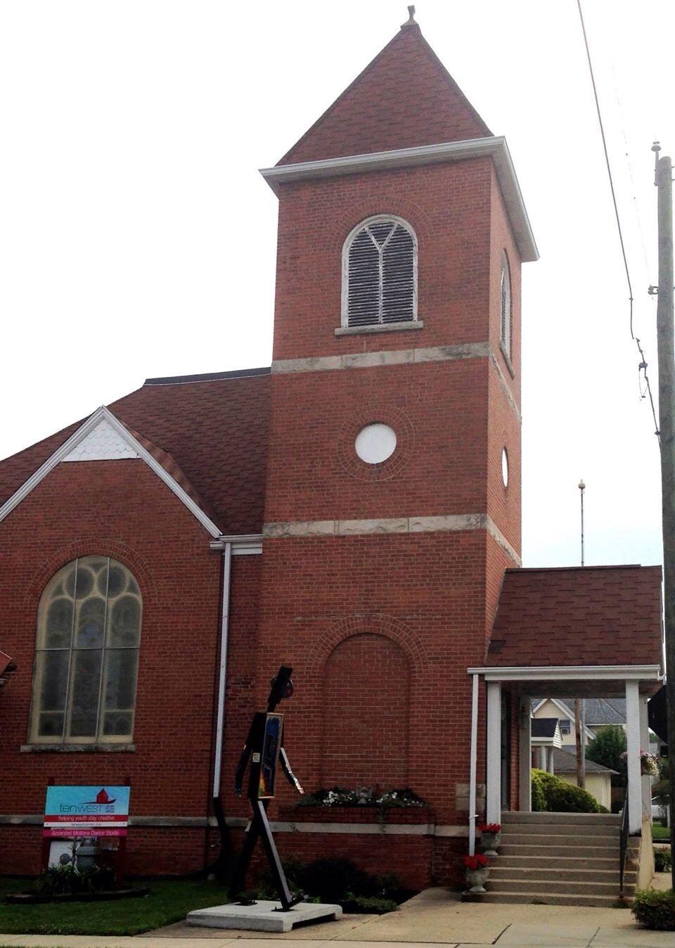
One of the popular spots in Ingalls is the picturesque Ingalls Park, which serves as a hub for outdoor activities and family-friendly gatherings. The park is particularly appreciated for its well-maintained trails and picnic areas, making it a perfect spot for a leisurely day out. Additionally, Ingalls has a charming historical district that features quaint architecture and serves as a tangible reminder of the town's past. While it might not boast the bustling attractions of a larger city, Ingalls offers a peaceful retreat with a touch of historical charm, ideal for those looking to explore the heart of Indiana's countryside.
Nearby cities include: Green, IN, Fortville, IN, Pendleton, IN, Fall Creek, IN, McCordsville, IN, Lapel, IN, Stony Creek, IN, Brown, IN, Center, IN, Markleville, IN.
Places in Ingalls
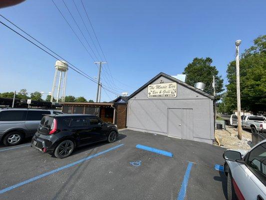
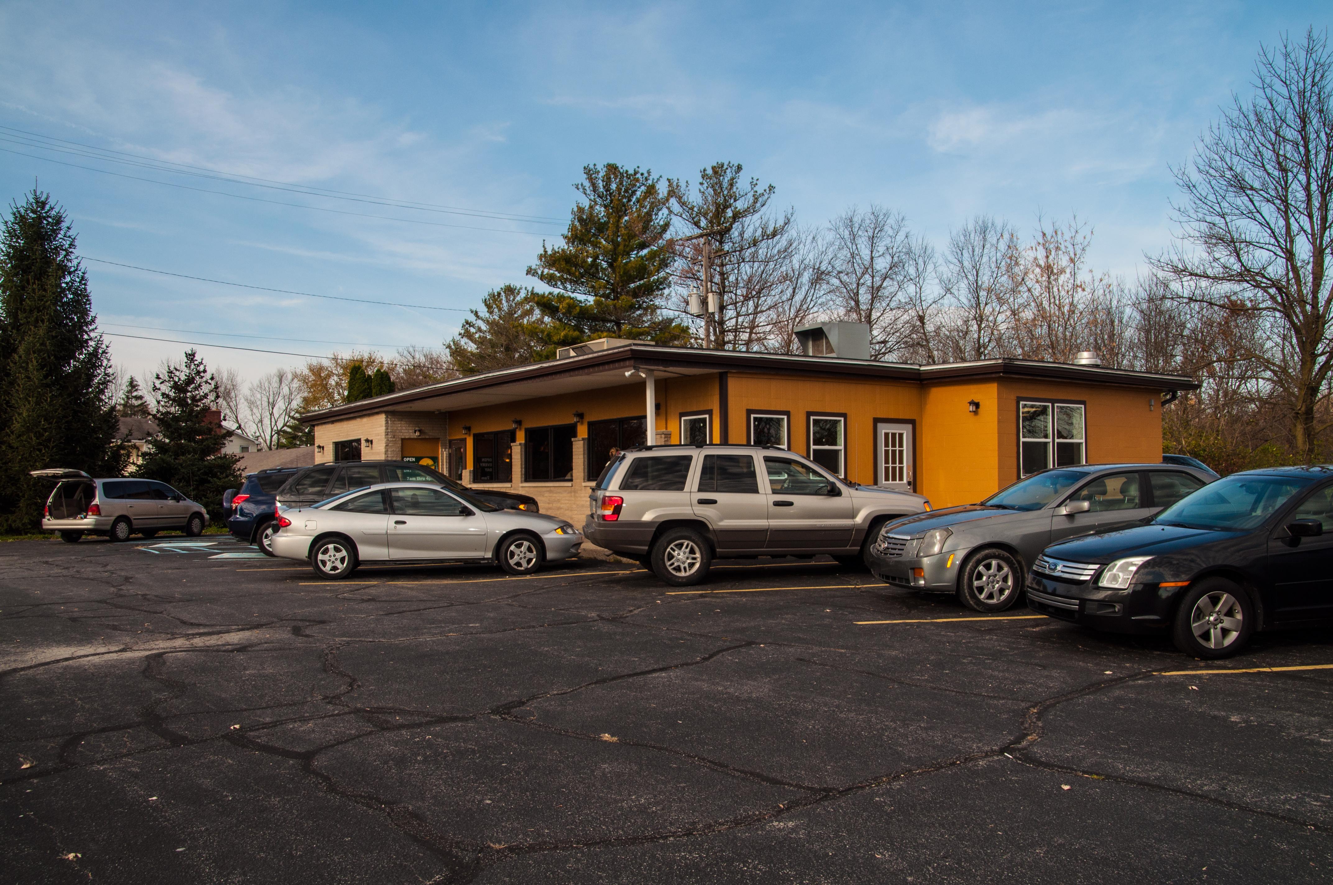
Dine and drink
Eat and drink your way through town.


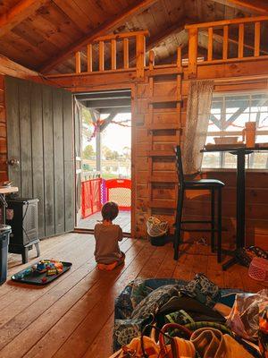
Can't-miss activities
Culture, natural beauty, and plain old fun.


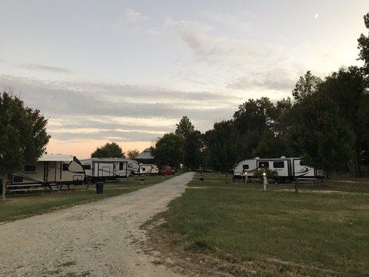
Places to stay
Hang your (vacation) hat in a place that’s just your style.