


Huntington, IN
Huntington, IN 46750
Huntington Map
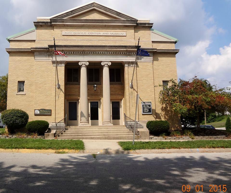
Huntington, known as the "Lime City", is a small city in and the county seat of Huntington County, Indiana, United States. It is in Huntington Township and Union Township. The population was 17,391 at the 2010 census.
Huntington is located at 40°52?55?N 85°29?44?W / 40.882083°N 85.495595°W / 40.882083; -85.495595.
According to the United States Census Bureau, the city has a total area of 8.4 square miles (21.8 km²), of which, 8.4 square miles (21.6 km²) of it is land and 0.1 square miles (0.2 km²) of it (1.07%) is water.
Nearby cities include Zanesville, Lagro, Uniondale, Warren, South Whitley.
Places in Huntington
Dine and drink
Eat and drink your way through town.


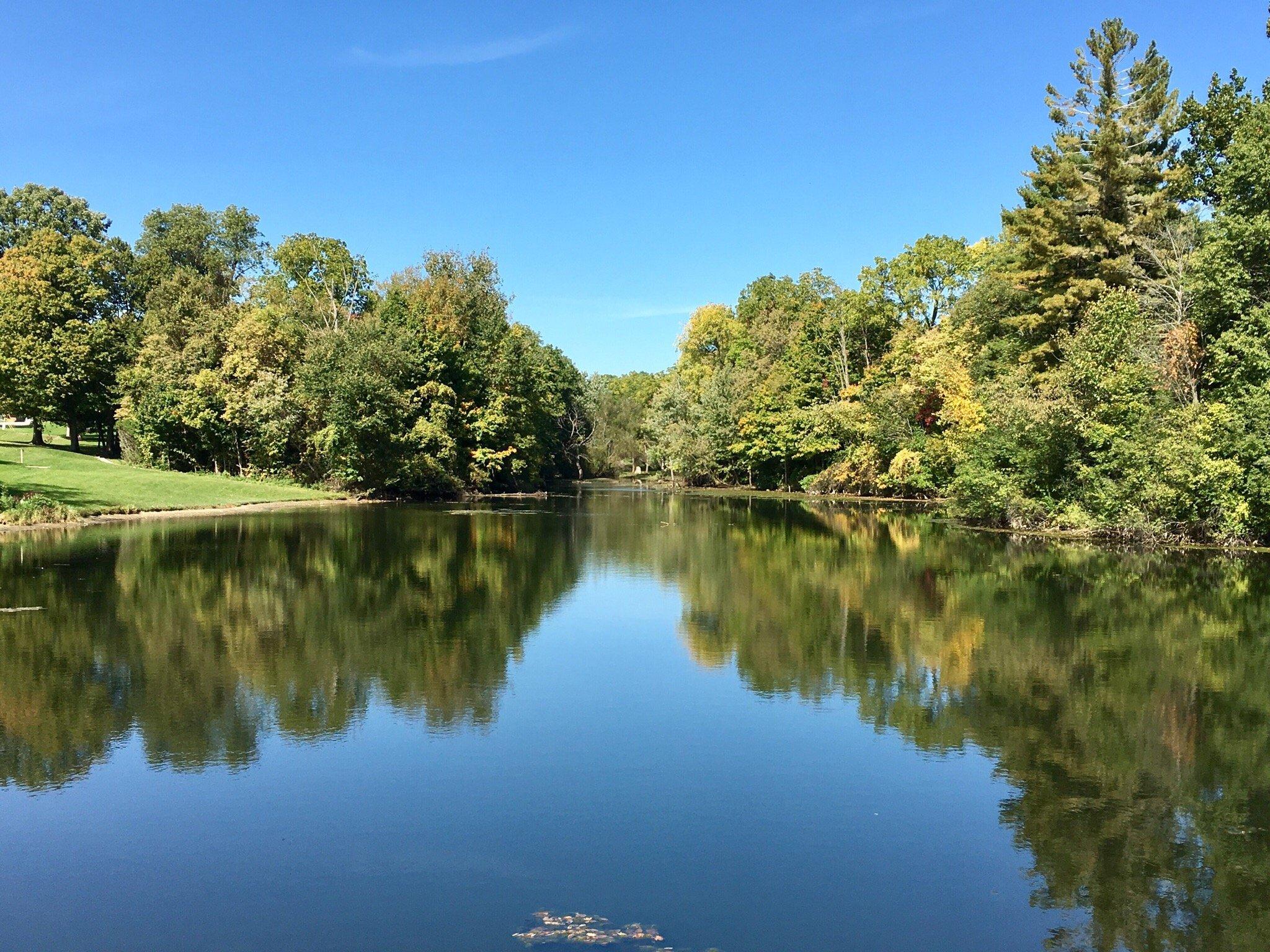
Can't-miss activities
Culture, natural beauty, and plain old fun.


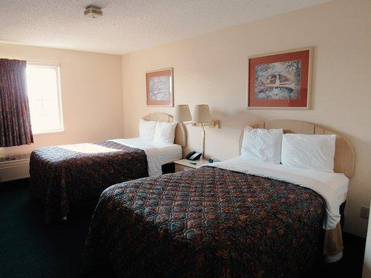
Places to stay
Hang your (vacation) hat in a place that’s just your style.


See a problem?