


Dale, IN
Dale, IN 47523
Dale Map
Dale is a town in Carter Township, Spencer County, Indiana, United States. The population was 1,593 at the 2010 census. Founded in 1843 and initially called Elizabeth, it was renamed after Robert Dale Owen of New Harmony, the town's congressman at the time.
Dale is located at 38°10?7?N 86°59?17?W / 38.16861°N 86.98806°W / 38.16861; -86.98806 (38.168603, -86.988072).
According to the United States Census Bureau, the town has a total area of 1.5 square miles (4.0 km²), all of it land.
Nearby cities include Chrisney, Jasper, Grandview, Lewisport, Lynnville.
Places in Dale
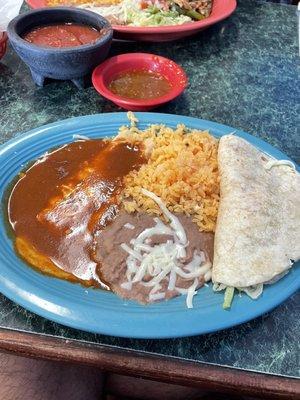
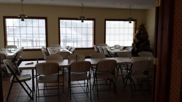
Dine and drink
Eat and drink your way through town.


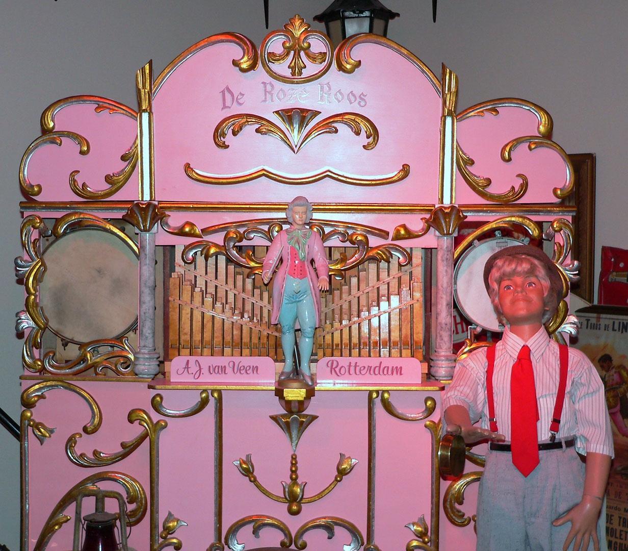
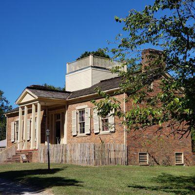
Can't-miss activities
Culture, natural beauty, and plain old fun.


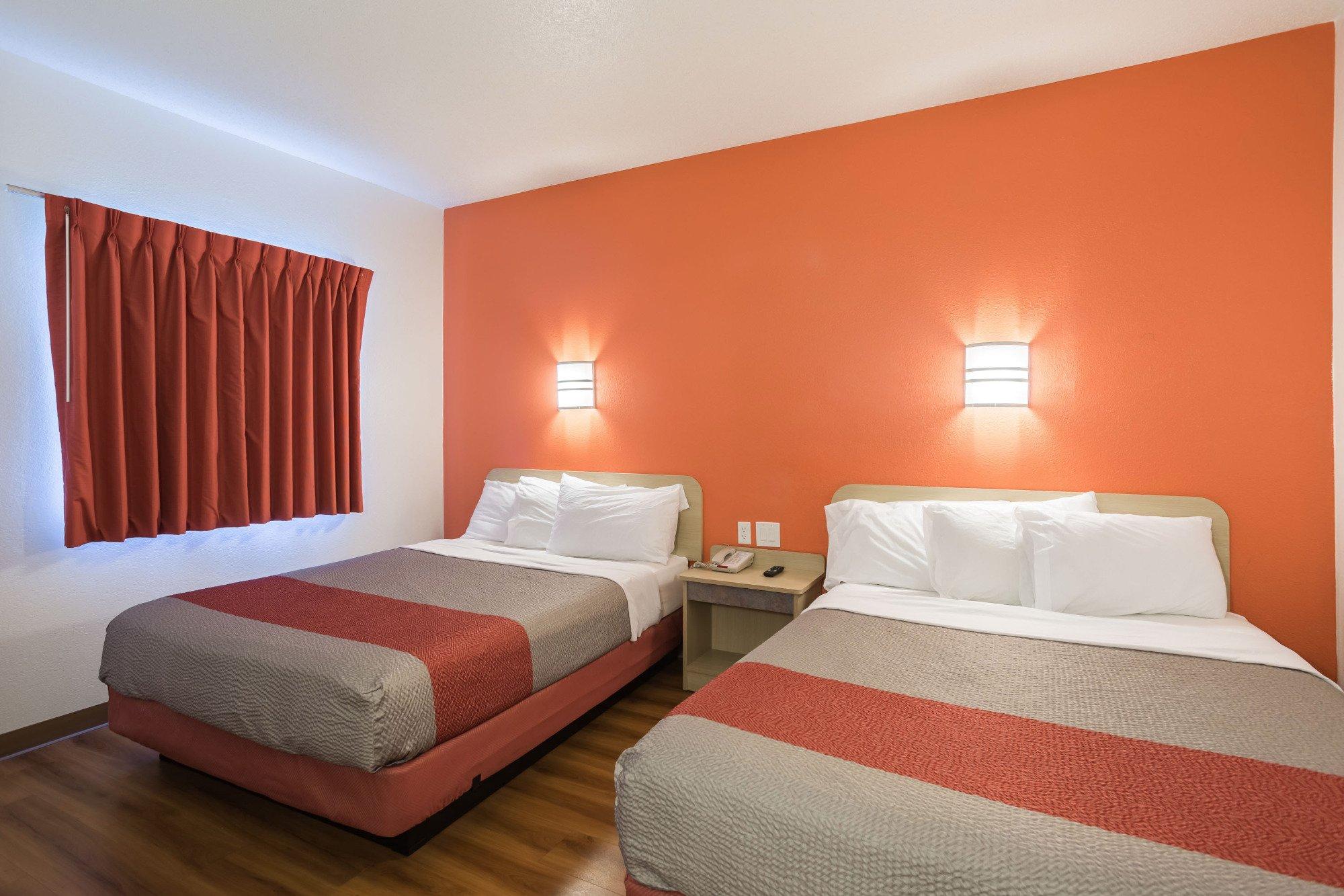
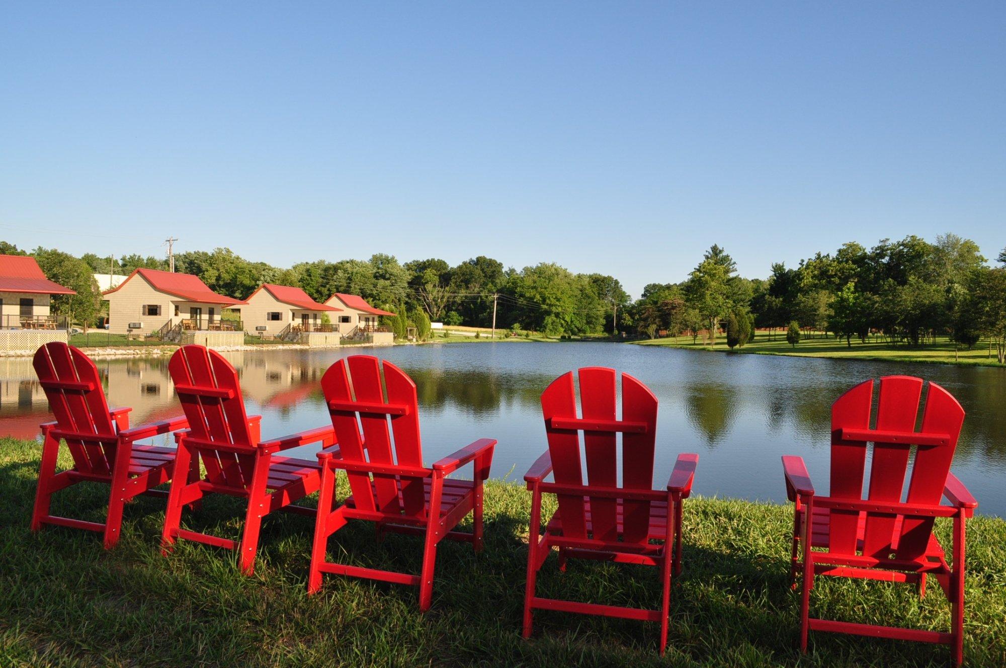
Places to stay
Hang your (vacation) hat in a place that’s just your style.

See a problem?