


Clarks Hill, IN
Clarks Hill, IN 47930
Clarks Hill Map
Clarks Hill is a town in Lauramie Township, Tippecanoe County, Indiana, United States. The population was 611 at the 2010 census. It is part of the Lafayette, Indiana Metropolitan Statistical Area.
Clarks Hill is located at 40°14?49?N 86°43?26?W / 40.24694°N 86.72389°W / 40.24694; -86.72389 (40.247036, -86.723863) in Lauramie Township, at an elevation of approximately 825 feet (251 m).
According to the United States Census Bureau, the town has a total area of 0.3 square miles (0.7 km²), all of it land.
Nearby cities include Darlington, Thorntown, Linden, Frankfort, Rossville.
Places in Clarks Hill
Dine and drink
Eat and drink your way through town.


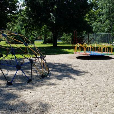
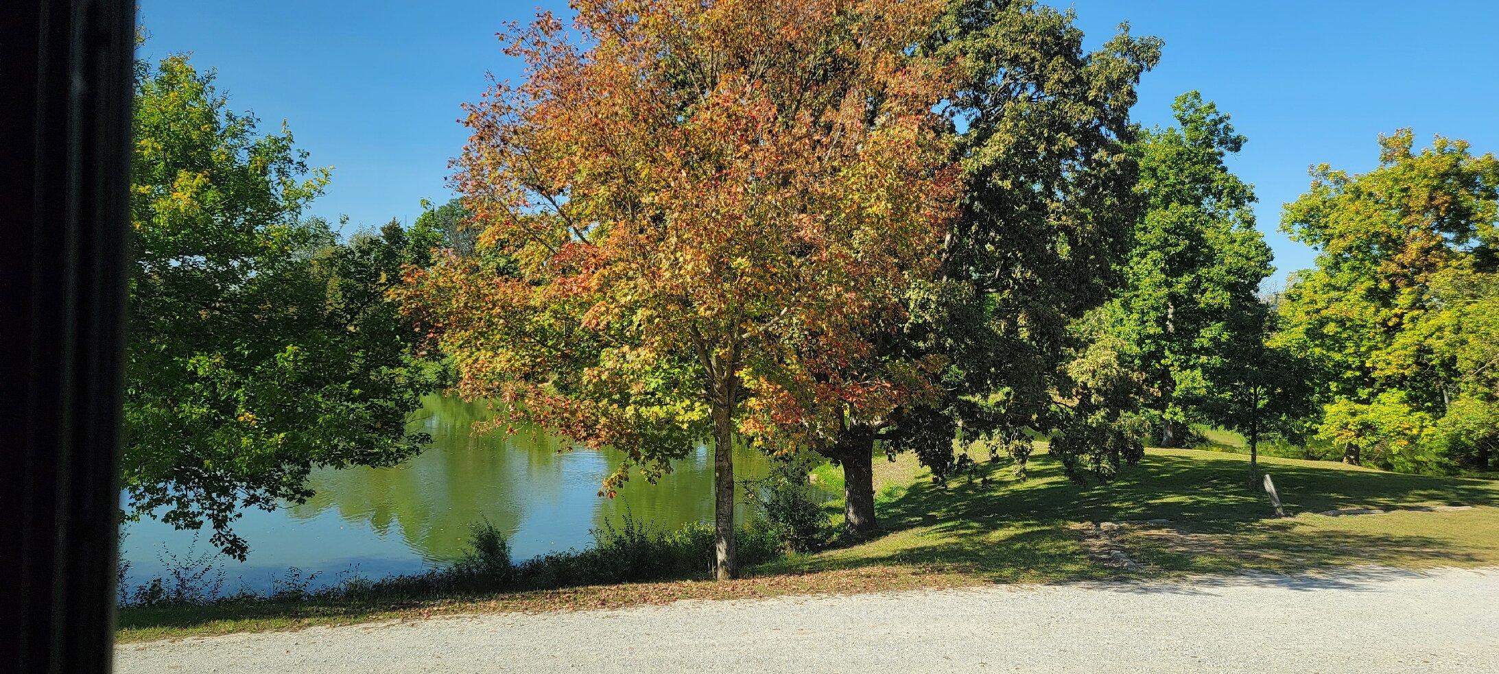
Can't-miss activities
Culture, natural beauty, and plain old fun.


Places to stay
Hang your (vacation) hat in a place that’s just your style.


See a problem?