


Buffalo, IN
Buffalo, IN 47925
Buffalo Map
Buffalo is a census-designated place (CDP) in White County, Indiana, United States. The population was 672 at the 2000 census.
Buffalo is located at 40°53?8?N 86°44?27?W / 40.88556°N 86.74083°W / 40.88556; -86.74083 (40.885501, -86.740858).
According to the United States Census Bureau, the CDP has a total area of 2.5 square miles (6.6 km²), of which, 2.4 square miles (6.2 km²) of it is land and 0.2 square miles (0.4 km²) of it (6.27%) is water.
Nearby cities include Francesville, Burnettsville, Reynolds, Star City, Royal Center.
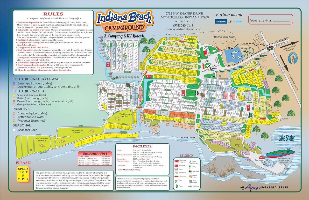
Places in Buffalo
Dine and drink
Eat and drink your way through town.


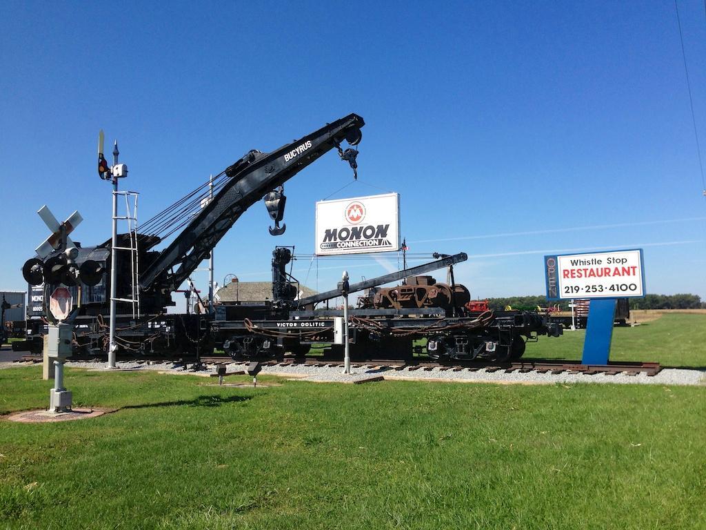
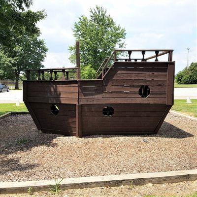
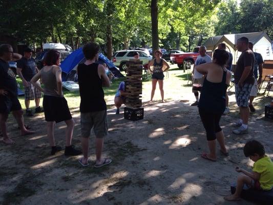
Can't-miss activities
Culture, natural beauty, and plain old fun.

Places to stay
Hang your (vacation) hat in a place that’s just your style.

See a problem?