Ambia, IN
Ambia, IN Map
Ambia is a US city in Benton County in the state of Indiana. Located at the longitude and latitude of -87.516960, 40.490040 and situated at an elevation of 223 meters. In the 2020 United States Census, Ambia, IN had a population of 227 people. Ambia is in the Eastern Standard Time timezone at Coordinated Universal Time (UTC) -5. Find directions to Ambia, IN, browse local businesses, landmarks, get current traffic estimates, road conditions, and more.
Ambia, Indiana, is a small town that may not be widely recognized for bustling attractions or historical landmarks, but it offers a quaint charm typical of many Midwestern communities. Established in the late 19th century, Ambia's history is rooted in agriculture and the railroad, which played a significant role in its early development. The town's layout and architecture still reflect its historical origins, providing a glimpse into the simpler, slower-paced lifestyle of rural America.
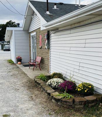
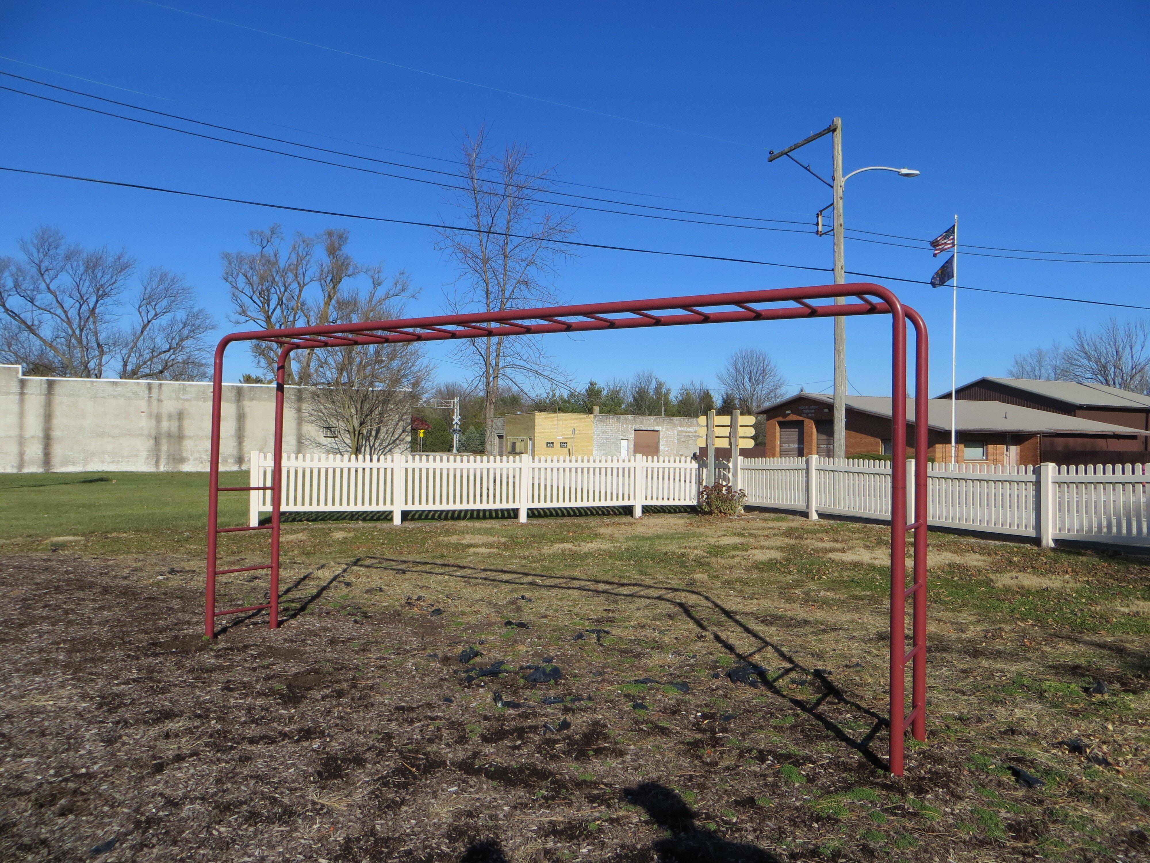
While Ambia might not boast a long list of popular tourist destinations, it is known for its close-knit community and serene rural landscapes. Visitors to Ambia often appreciate the peaceful surroundings and the opportunity to experience small-town life. The local events, such as community fairs and gatherings, offer a genuine slice of Midwestern hospitality and culture. Though Ambia may not be a bustling hub of activity, its simplicity and charm make it a unique stop for those exploring the backroads of Indiana.
Nearby cities include: Prairie Green, IL, Grant, IL, Boswell, IN, Hoopeston, IL, Parish Grove, IN, Wellington, IL, Jordan, IN, Lovejoy, IL, Stockland, IL, Rossville, IL.
Places in Ambia
Dine and drink
Eat and drink your way through town.


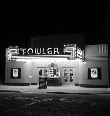
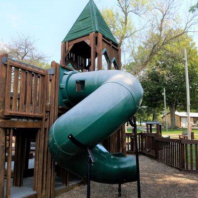
Can't-miss activities
Culture, natural beauty, and plain old fun.

Places to stay
Hang your (vacation) hat in a place that’s just your style.