


Albany, IN
Albany, IN 47320
Albany Map
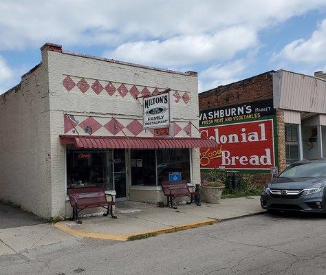
Albany is a town in Delaware and Randolph counties in the U.S. state of Indiana, along the Mississinewa River. The population was 2,165 at the 2010 census. It is part of the Muncie, IN Metropolitan Statistical Area.
Albany is located at 40°18?5?N 85°14?16?W / 40.30139°N 85.23778°W / 40.30139; -85.23778 (40.30, -85.24).
According to the United States Census Bureau, the town has a total area of 1.6 square miles (4.3 km²), all of it land.
Nearby cities include Ridgeville, Muncie, Hartford City, Pennville, Gaston.
Places in Albany
Dine and drink
Eat and drink your way through town.


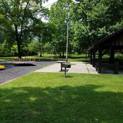
Can't-miss activities
Culture, natural beauty, and plain old fun.


Places to stay
Hang your (vacation) hat in a place that’s just your style.


See a problem?