


Olmsted, IL
Olmsted, IL 62970
Olmsted Map
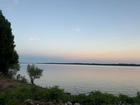
Olmsted is a village in Pulaski County, Illinois, along the Ohio River. The population was 299 at the 2000 census.
Olmsted is located at 37°10?51?N 89°5?11?W / 37.18083°N 89.08639°W / 37.18083; -89.08639 (37.180733, -89.086431).
According to the United States Census Bureau, the village has a total area of 1.7 square miles (4.5 km²), of which, 1.7 square miles (4.4 km²) of it is land and 0.04 square miles (0.1 km²) of it (2.33%) is water.
Places in Olmsted
Dine and drink
Eat and drink your way through town.


Can't-miss activities
Culture, natural beauty, and plain old fun.


Places to stay
Hang your (vacation) hat in a place that’s just your style.


See a problem?