


Erie, IL
Erie, IL 61250
Erie Map
Erie is a village in Whiteside County, Illinois, United States. The population was 1,602 at the 2010 census, up from 1,589 at the 2000 census.
Erie is located at 41°39?28?N 90°4?44?W / 41.65778°N 90.07889°W / 41.65778; -90.07889 (41.657802, -90.078931).
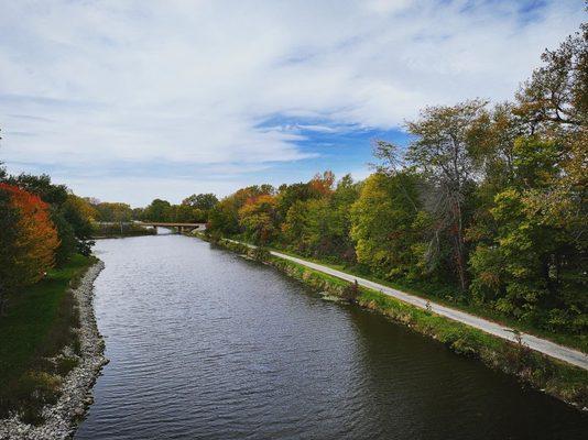
According to the United States Census Bureau, the village has a total area of 1.4 square miles (3.7 km²), of which, 1.4 square miles (3.6 km²) of it is land and 0.71% is water.
Nearby cities include Albany, Morrison, Cordova, Camanche, Princeton.
Places in Erie
Dine and drink
Eat and drink your way through town.


Places to stay
Hang your (vacation) hat in a place that’s just your style.


See a problem?