East Cape Girardeau, IL
East Cape Girardeau, IL Map
East Cape Girardeau is a US city in Alexander County in the state of Illinois. Located at the longitude and latitude of -89.495278, 37.296111 and situated at an elevation of 335 meters. In the 2020 United States Census, East Cape Girardeau, IL had a population of 289 people. East Cape Girardeau is in the Central Standard Time timezone at Coordinated Universal Time (UTC) -6. Find directions to East Cape Girardeau, IL, browse local businesses, landmarks, get current traffic estimates, road conditions, and more.
East Cape Girardeau, located in Illinois, is a small village that is primarily known for its proximity to the Mississippi River. This location provides picturesque views and opportunities for river-related activities, making it a point of interest for those who appreciate natural beauty and tranquil environments. The village's history is closely tied to its position along this major waterway, which has played a role in its development and local culture.
While East Cape Girardeau itself is a modest community, visitors often enjoy the serene atmosphere and the chance to explore the surrounding natural landscapes. There are several scenic spots along the river that offer a peaceful retreat for fishing, bird watching, or simply enjoying the view. The village serves as a quiet getaway, highlighting the charm of rural life along one of America's most significant rivers.
Nearby cities include: Cape Girardeau, MO, Cape Girardeau, MO, McClure, IL, Thebes, IL, Scott City, MO, Randol, MO, Kelso, MO, Dutchtown, MO, Gordonville, MO, Commerce, MO.
Places in East Cape Girardeau
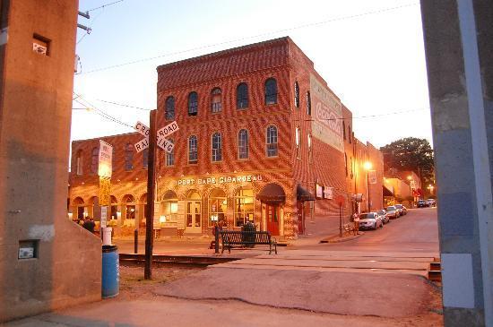
Dine and drink
Eat and drink your way through town.


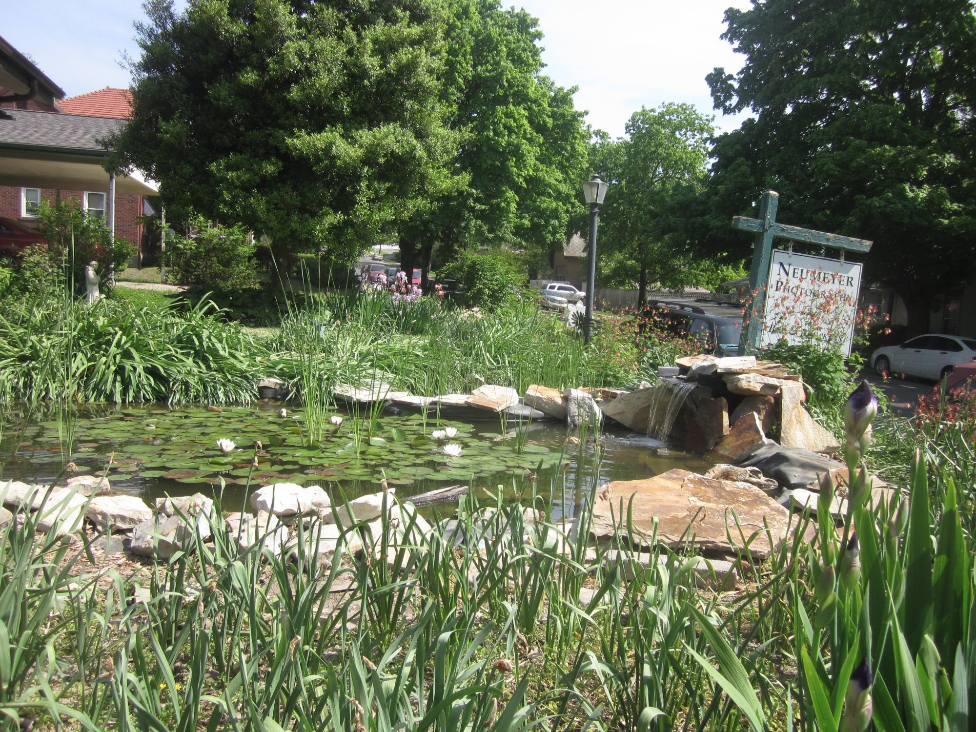
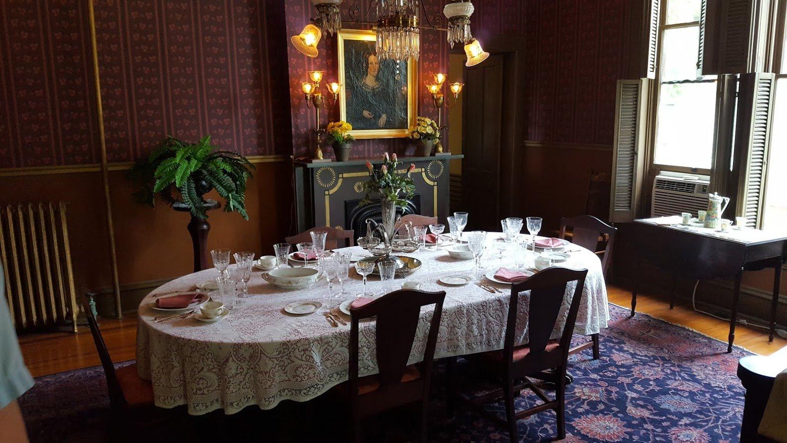
Can't-miss activities
Culture, natural beauty, and plain old fun.


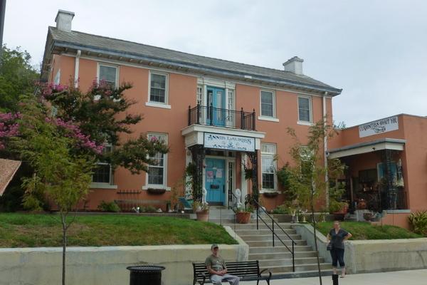
Places to stay
Hang your (vacation) hat in a place that’s just your style.