Calumet City, IL
Calumet City, IL Map
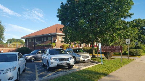
Calumet City is a US city in Cook County in the state of Illinois. Located at the longitude and latitude of -87.538429, 41.609524 and situated at an elevation of 181 meters. In the 2020 United States Census, Calumet City, IL had a population of 36,033 people. Calumet City is in the Central Standard Time timezone at Coordinated Universal Time (UTC) -6. Find directions to Calumet City, IL, browse local businesses, landmarks, get current traffic estimates, road conditions, and more.
Calumet City, located in Illinois, is a suburb of Chicago known for its rich history and cultural significance. One of the city's notable features is its connection to the early 20th-century industrial boom, which shaped much of its development and character. Over the years, Calumet City has maintained a robust community spirit, reflected in its local attractions and historical sites. The city is famously home to the iconic "Smiley Towers," a pair of water towers that have been painted with smiley faces, serving as a quirky and beloved local landmark.
Visitors to Calumet City can explore a variety of parks and recreational areas, such as the River Oaks Golf Course, which offers a relaxing environment for golf enthusiasts. For those interested in shopping, the River Oaks Center provides a comprehensive retail experience. Additionally, the city has a historical connection to the entertainment industry, as it was featured in the classic film "The Blues Brothers." This connection adds a layer of cultural nostalgia to the city, making it an interesting destination for fans of American cinema history.
Nearby cities include: Burnham, IL, Hammond, IN, Lansing, IL, South Holland, IL, Dolton, IL, Munster, IN, East Chicago, IN, Thornton, IL, Phoenix, IL, Whiting, IN.
Places in Calumet City
Dine and drink
Eat and drink your way through town.


Can't-miss activities
Culture, natural beauty, and plain old fun.


Places to stay
Hang your (vacation) hat in a place that’s just your style.