Paul, ID
Paul Map
Paul is a city in Minidoka County, Idaho, United States. The population was 998 at the 2000 census. It is part of the Burley, Idaho Micropolitan Statistical Area.
Paul is located at 42°36?23?N 113°47?0?W / 42.60639°N 113.783333°W / 42.60639; -113.783333 (42.606349, -113.783235), at 4,150 feet (1,260 m) in elevation. It lies within the Magic Valley region of the Snake River Plain.
According to the United States Census Bureau, the city has a total area of 0.6 square miles (1.7 km²), of which, 0.6 square miles (1.7 km²) of it is land and 1.54% is water.
Nearby cities include Albion, Hazelton, Heyburn, Burley, Rupert.
Places in Paul
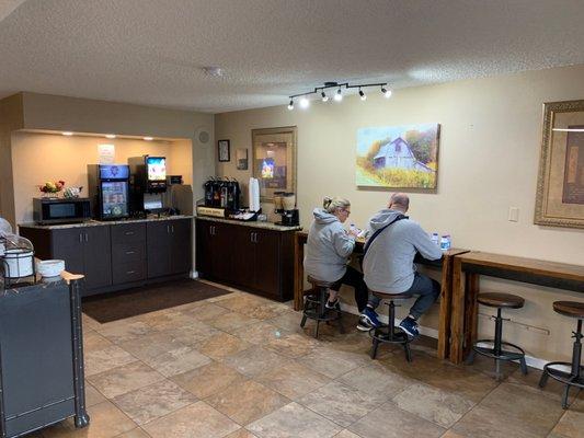
Dine and drink
Eat and drink your way through town.


Can't-miss activities
Culture, natural beauty, and plain old fun.

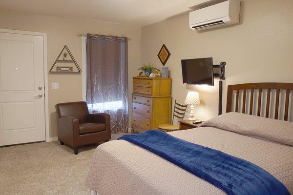
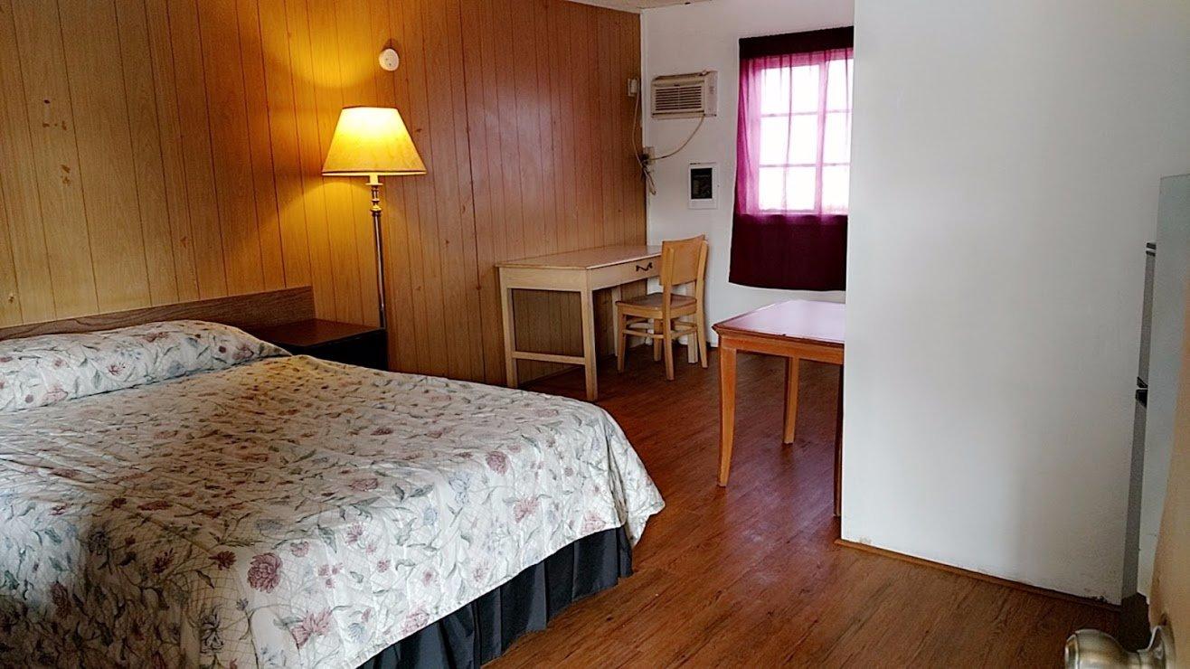
Places to stay
Hang your (vacation) hat in a place that’s just your style.