Pepeekeo
Pepeekeo, HI Map
Pepeekeo is a US city in Hawaii County in the state of Hawaii. Located at the longitude and latitude of -155.105278, 19.836667 and situated at an elevation of 564 meters. In the 2020 United States Census, Pepeekeo, HI had a population of 1,826 people. Pepeekeo is in the Hawaii-Aleutian Standard Time timezone at Coordinated Universal Time (UTC) -10. Find directions to Pepeekeo, HI, browse local businesses, landmarks, get current traffic estimates, road conditions, and more.
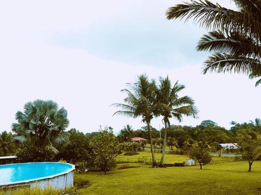
Pepeekeo, located on the Big Island of Hawaii, is a quaint village known for its lush landscapes and historical significance. This charming area is steeped in history, primarily from its past as a sugar plantation town, a common theme across many Hawaiian locales. Visitors are often drawn to the scenic beauty that surrounds Pepeekeo, with the Pepeekeo Scenic Drive being a notable highlight. This four-mile stretch of road offers breathtaking views of the ocean, waterfalls, and tropical rainforest, providing a picturesque journey through some of Hawaii's most stunning natural environments.
While in Pepeekeo, many visitors explore the Hawaii Tropical Botanical Garden, a nearby paradise that boasts a vast array of tropical plants and flowers. This garden is a must-visit for anyone interested in the island’s unique flora. Additionally, the area is known for its close proximity to the Onomea Bay Trail, which offers a delightful hike through lush greenery to a secluded bay. The combination of historical charm and natural beauty makes Pepeekeo a noteworthy destination for those seeking a peaceful retreat on the Big Island.
Nearby cities include: Honomu, HI, Papaikou, HI, Paukaa, HI, Hilo, HI, Keaau, HI, Kurtistown, HI, Mountain View, HI, Paauilo, HI, Pahoa, HI, Leilani Estates, HI.
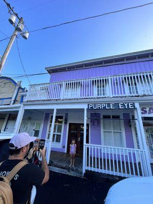
Places in Pepeekeo
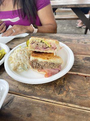
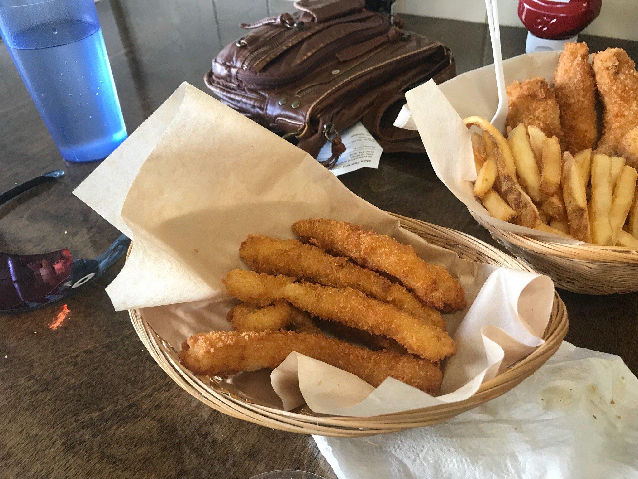
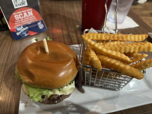
Dine and drink
Eat and drink your way through town.

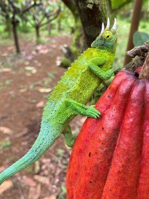
Can't-miss activities
Culture, natural beauty, and plain old fun.

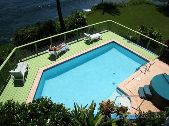
Places to stay
Hang your (vacation) hat in a place that’s just your style.