


Yatesville, GA
Yatesville, GA 31097
Yatesville Map
Yatesville is a town in Upson County, Georgia, United States. The population was 408 at the 2000 census.
Yatesville is located at 32°54?46?N 84°8?33?W / 32.91278°N 84.1425°W / 32.91278; -84.1425 (32.912663, -84.142393).
According to the United States Census Bureau, the town has a total area of 0.9 square miles (2.3 km²), of which, 0.9 square miles (2.3 km²) of it is land and 1.14% is water.
Nearby cities include Thomaston, Milner, Forsyth, Roberta, Zebulon.
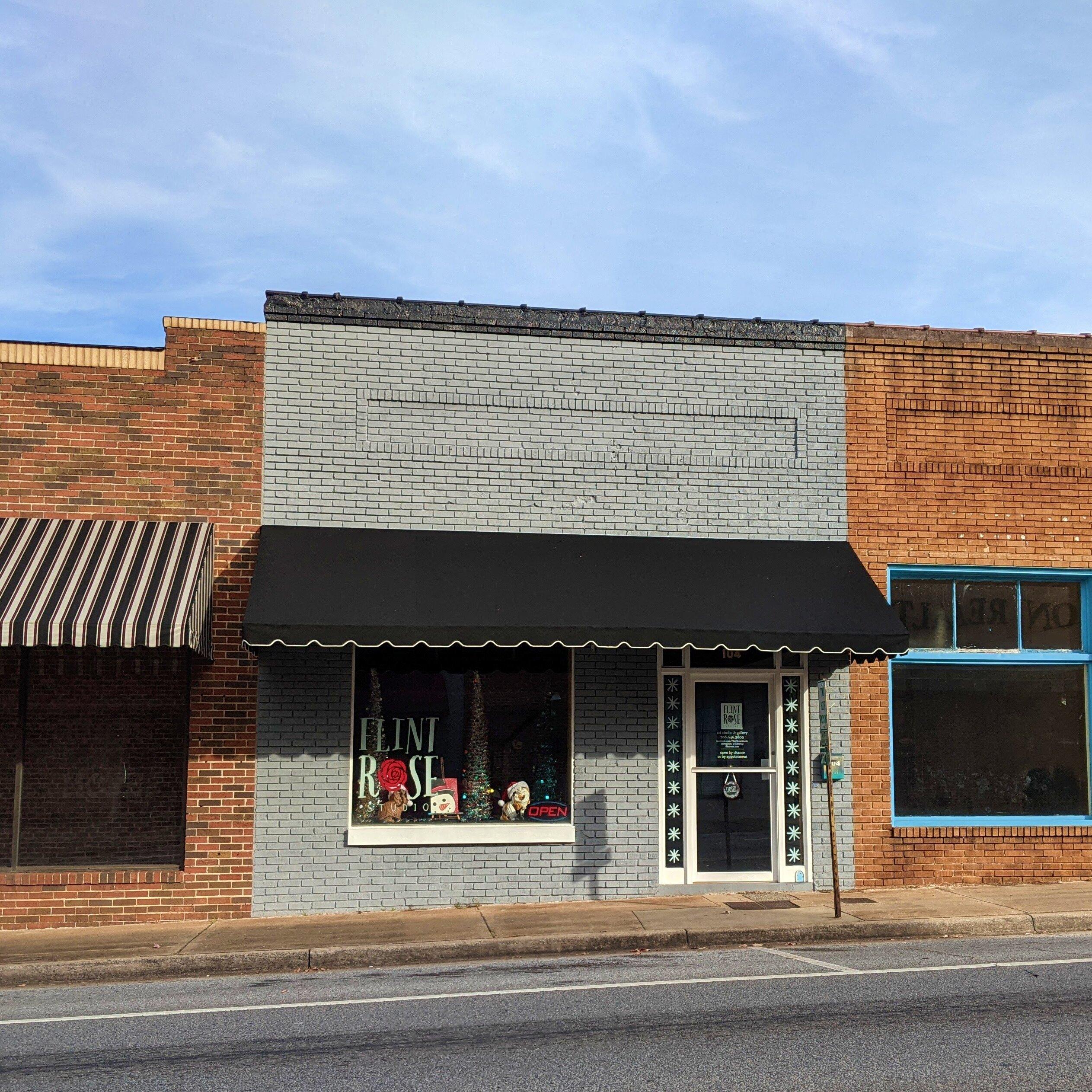
Places in Yatesville
Dine and drink
Eat and drink your way through town.


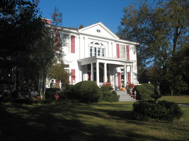
Can't-miss activities
Culture, natural beauty, and plain old fun.


Places to stay
Hang your (vacation) hat in a place that’s just your style.


See a problem?