Warner Robins, GA
Warner Robins, GA Map
Warner Robins is a US city in Houston County in the state of Georgia. Located at the longitude and latitude of -83.638100, 32.608600 and situated at an elevation of 93 meters. In the 2020 United States Census, Warner Robins, GA had a population of 80,308 people. Warner Robins is in the Eastern Standard Time timezone at Coordinated Universal Time (UTC) -5. Find directions to Warner Robins, GA, browse local businesses, landmarks, get current traffic estimates, road conditions, and more.
Warner Robins, Georgia, is a city with a rich military heritage, primarily known for its close association with the Robins Air Force Base, one of the largest employers in the area. The base has played a pivotal role in the city's development since its establishment during World War II. This connection to aviation and defense is celebrated at the Museum of Aviation, a popular attraction which features an extensive collection of aircraft, exhibits on aviation history, and educational programs that draw visitors from around the region.
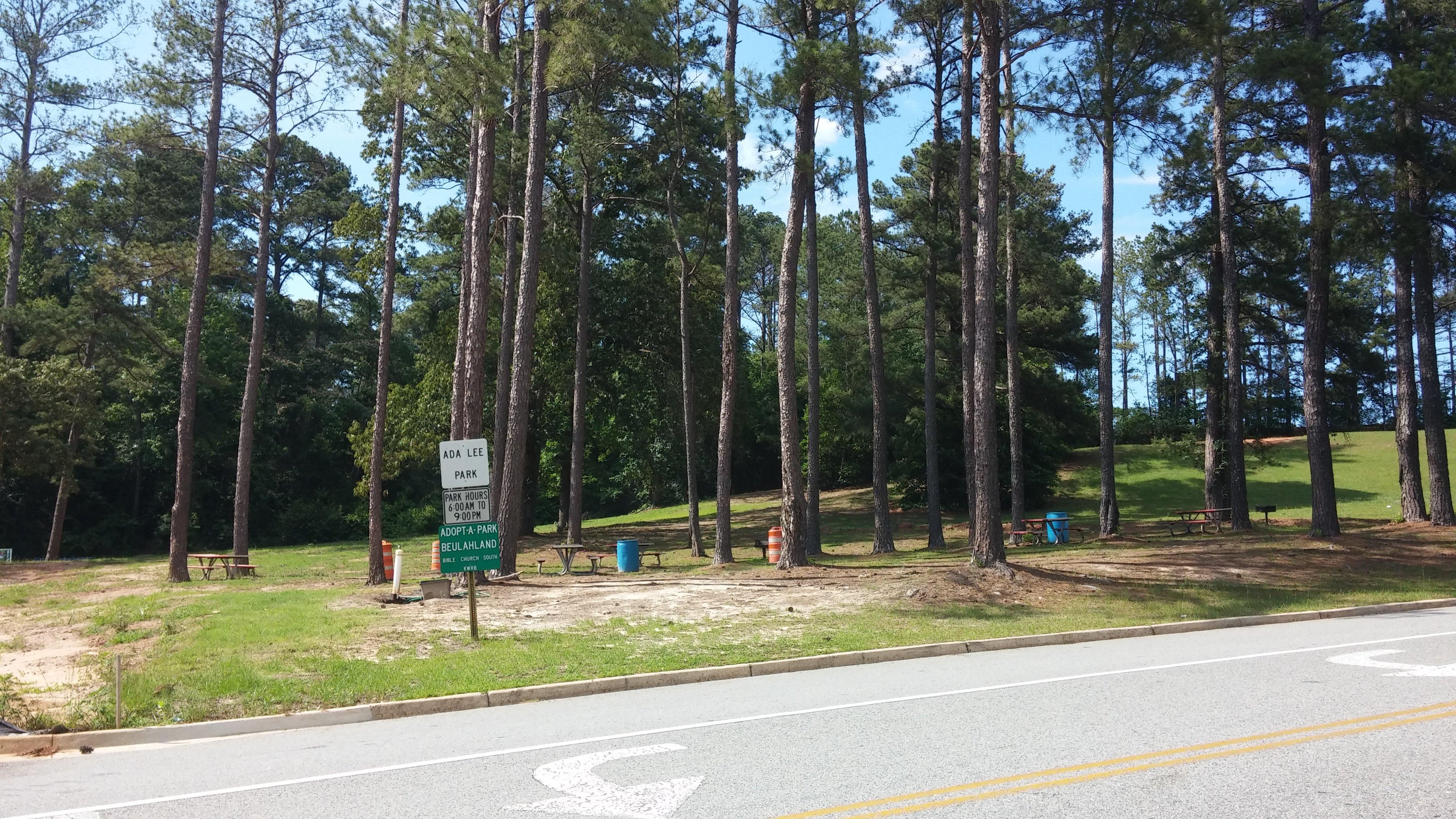
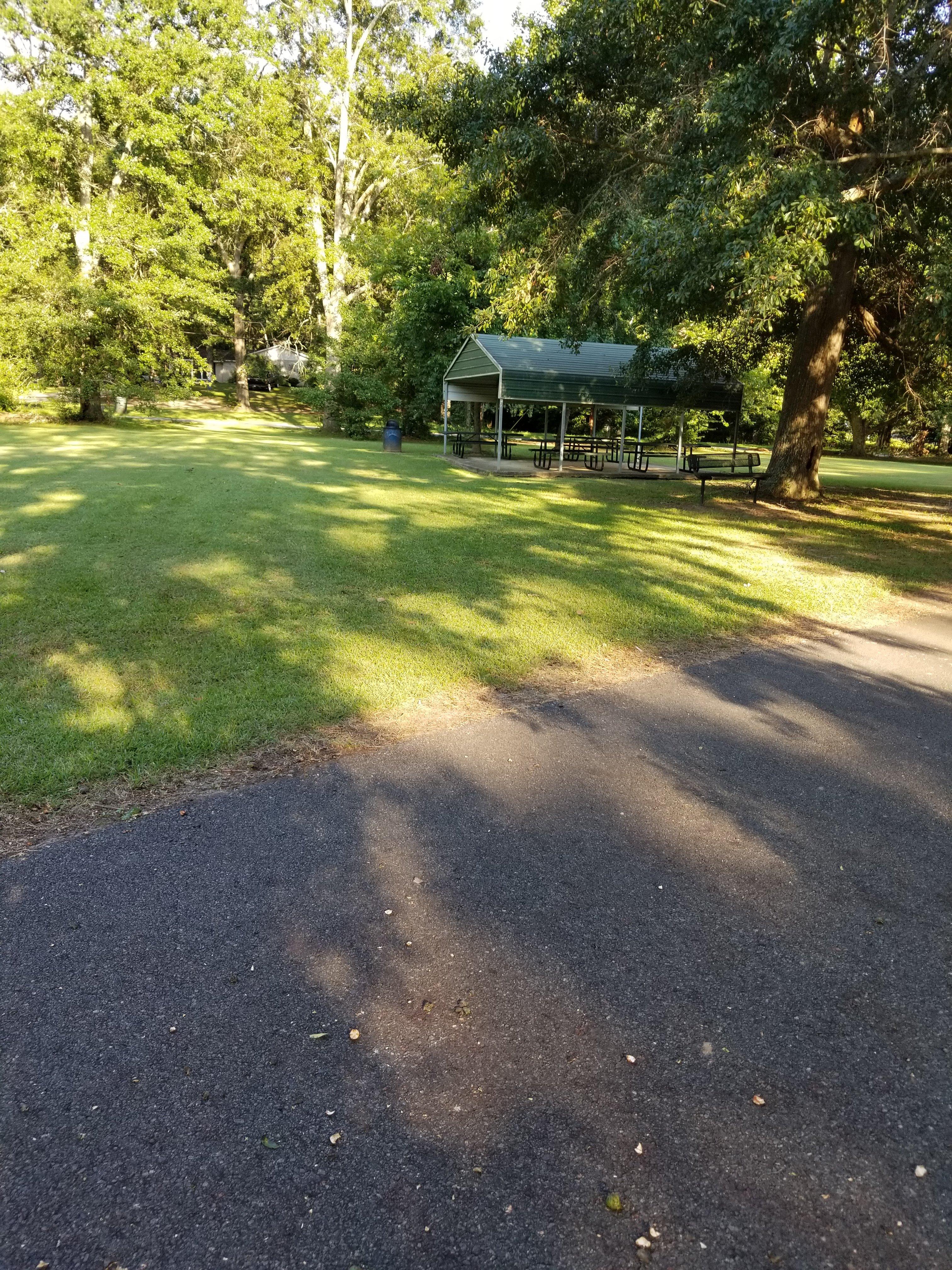
Beyond its military ties, Warner Robins offers a variety of recreational and cultural amenities. The E.L. Greenway Welcome Center provides insights into the city's history, while the International City Golf Club offers a scenic course for golf enthusiasts. For outdoor activities, one can visit the Wellston Trail or take a leisurely stroll through the numerous parks scattered around the city. Warner Robins is also home to the Little Theatre, which showcases local talent and offers a range of performances throughout the year, contributing to the city's vibrant cultural scene.
Nearby cities include: Centerville, GA, Byron, GA, Perry, GA, Fort Valley, GA, Macon, GA, Jeffersonville, GA, Marshallville, GA, Knoxville, GA, Cochran, GA, Danville, GA.
Places in Warner Robins
Dine and drink
Eat and drink your way through town.


Places to stay
Hang your (vacation) hat in a place that’s just your style.