


Taylorsville, GA
Taylorsville, GA
Taylorsville Map
Taylorsville is a town in Bartow and Polk counties in the U.S. state of Georgia. The population was 229 at the 2000 census.
Taylorsville is located at 34°5?5?N 84°59?7?W / 34.08472°N 84.98528°W / 34.08472; -84.98528 (34.084798, -84.985249).
According to the United States Census Bureau, the town has a total area of 1.5 square miles (3.9 km²), all of it land.
Nearby cities include Kingston, Cartersville, Lindale, Emerson, Dallas.
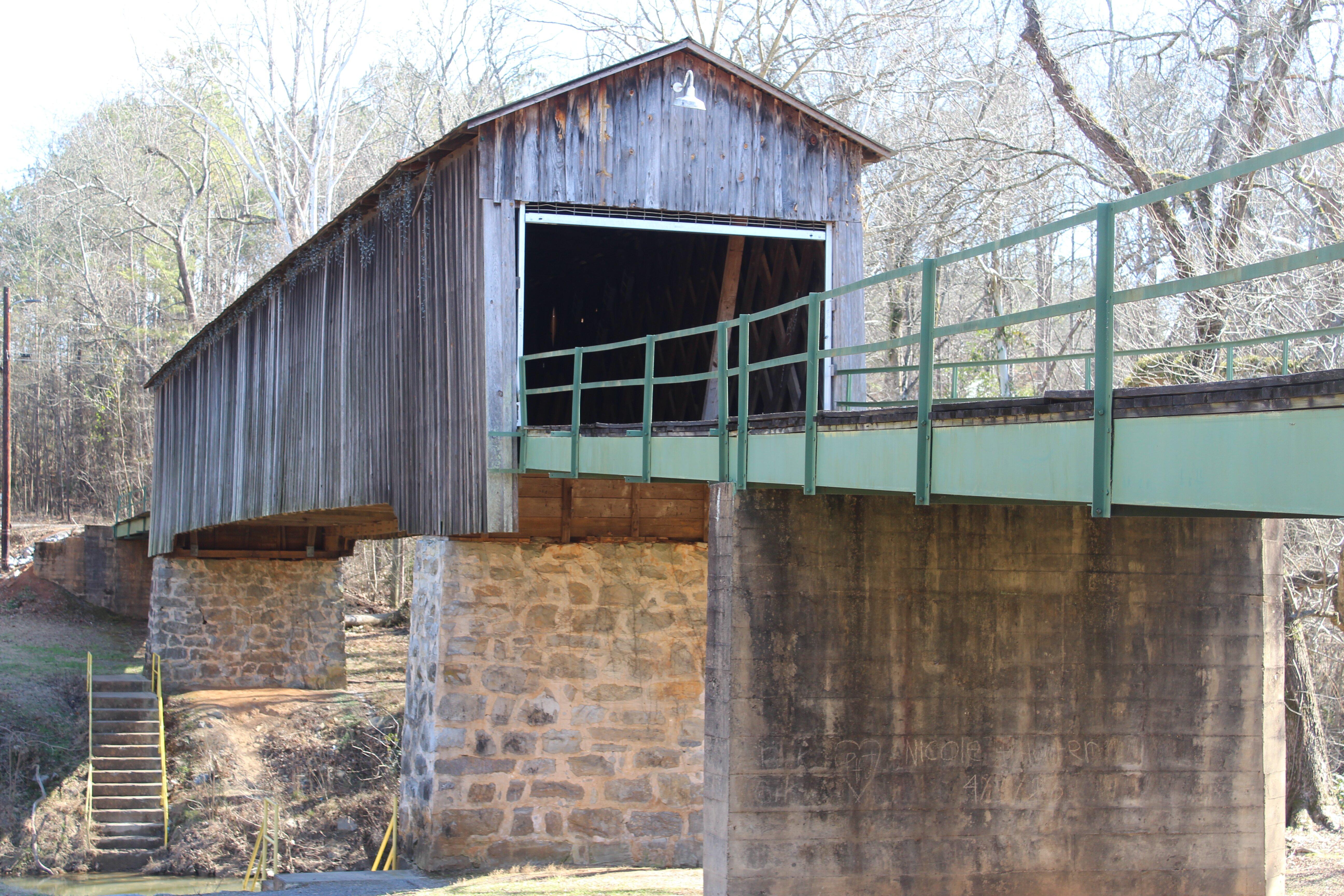
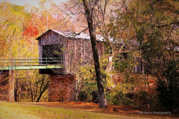
Places in Taylorsville
Dine and drink
Eat and drink your way through town.


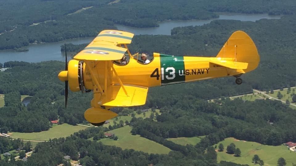
Can't-miss activities
Culture, natural beauty, and plain old fun.

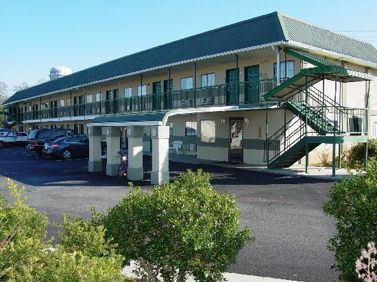
Places to stay
Hang your (vacation) hat in a place that’s just your style.


See a problem?