Alma, GA
Alma Map
Alma is a city in Bacon County, Georgia, United States. The population was 3,236 at the 2000 census. The city is the county seat of Bacon County. Alma's name is a tribute to the four capitals Georgia has had as a state: Augusta, Louisville, Milledgeville, and Atlanta, Georgia (see external link below).
Alma is located at 31°32?30?N 82°28?0?W / 31.54167°N 82.466667°W / 31.54167; -82.466667 (31.541543, -82.466666).
According to the United States Census Bureau, the city has a total area of 5.8 square miles (15.1 km²), of which, 5.7 square miles (14.8 km²) of it is land and 0.1 square miles (0.2 km²) of it (1.55%) is water.
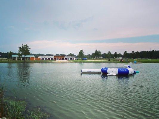
Places in Alma
Dine and drink
Eat and drink your way through town.


Can't-miss activities
Culture, natural beauty, and plain old fun.

Places to stay
Hang your (vacation) hat in a place that’s just your style.