Waterford, CT
Waterford Map
Waterford is a town in New London County, Connecticut, United States. It is named after Waterford, Ireland. The population was 19,152 at the 2000 census. The town center is listed as a census-designated place (CDP).
According to the United States Census Bureau, the town has a total area of 44.4 square miles (115.0 km²), of which, 32.8 square miles (84.8 km²) of it is land and 11.6 square miles (30.1 km²) of it (26.22%) is water. The town center CDP has a total area of 2.0 square miles (5.2 km²), all land.
Other minor communities and geographic features are: Dufree Hill, East Neck, Fog Plain, Gilead, Goshen, Great Neck, Harrisons, Lake's Pond, Logger Hill, Mago Point, Magonk, Mullen Hill, Oswegatchie, Pepperbox Road, Pleasure Beach, Ridgewood Park, Riverside Beach, Spithead, Strand, West Neck.
Nearby cities include New London, Stonington, Mashantucket, Norwich, Pawcatuck.
Places in Waterford
Dine and drink
Eat and drink your way through town.


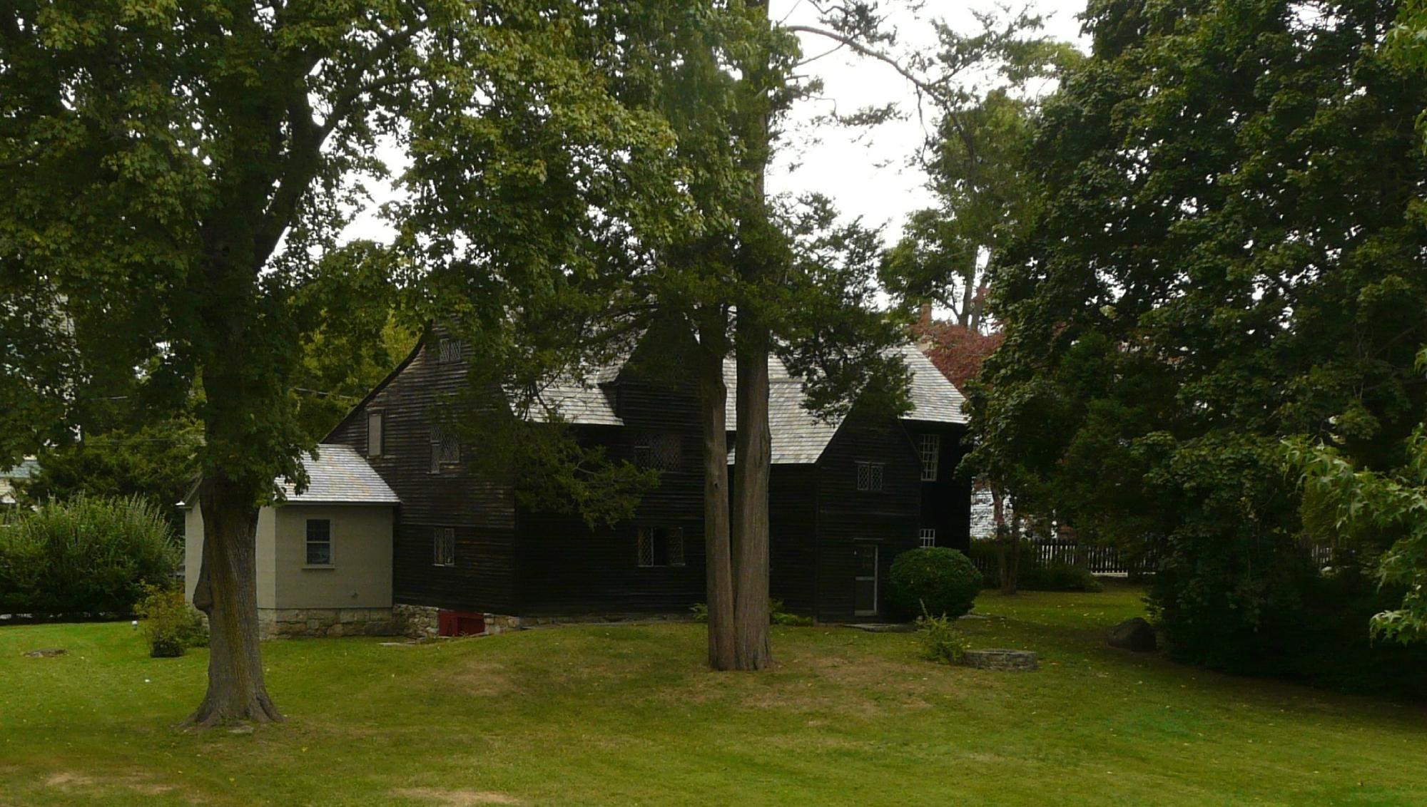
Can't-miss activities
Culture, natural beauty, and plain old fun.

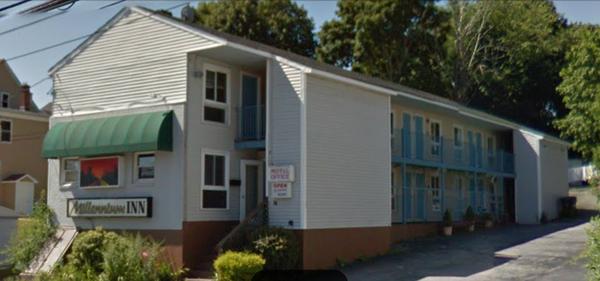
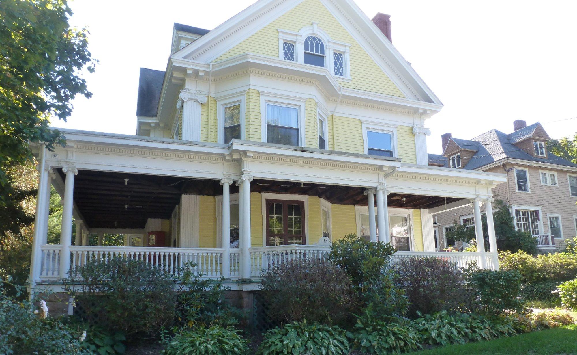
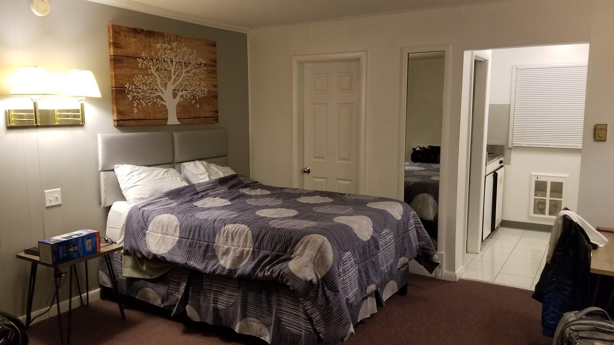
Places to stay
Hang your (vacation) hat in a place that’s just your style.