


Platteville, CO
Platteville, CO 80651
Platteville Map
Platteville is a Statutory Town in Weld County, Colorado, United States. The population was 2,370 at the 2000 census. It is adjacent to Fort Vasquez on U.S. Route 85.
Platteville is located at 40°12?52?N 104°49?27?W / 40.21444°N 104.82417°W / 40.21444; -104.82417 (40.214468, -104.824070).
The town is situated along the east bank of the South Platte River at the intersection of U.S. Route 85 and Colorado State Highway 66.
Nearby cities include Dacono, La Salle, Evans, Hudson, Berthoud.
Places in Platteville
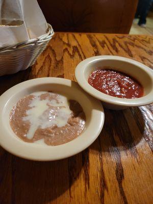
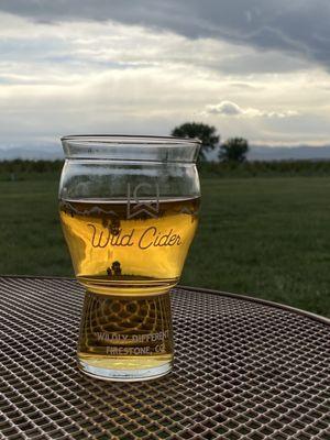
Dine and drink
Eat and drink your way through town.


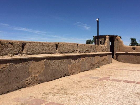
Can't-miss activities
Culture, natural beauty, and plain old fun.


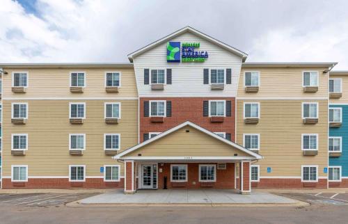
Places to stay
Hang your (vacation) hat in a place that’s just your style.


See a problem?