Kersey, CO
Kersey Map
Kersey is a statutory town in Weld County, Colorado, United States. The population was 1,389 at the 2000 census.
Originally called Orr, Kersey was created in 1882 as a place on the Union Pacific Railroad main line between Julesburg and LaSalle. The area was given its current name in 1896 by John Kersey Painter after his grandfather. It was officially incorporated as a town in 1908. In 1973, the nearby Latham Reservoir broke, flooding a significant portion of the town and causing major damage.
Kersey is located at 40°23?10?N 104°33?41?W / 40.38611°N 104.56139°W / 40.38611; -104.56139 (40.386060, -104.561453).
Nearby cities include Eaton, Gilcrest, Milliken, Ault, Severance.
Places in Kersey
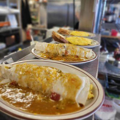
Dine and drink
Eat and drink your way through town.

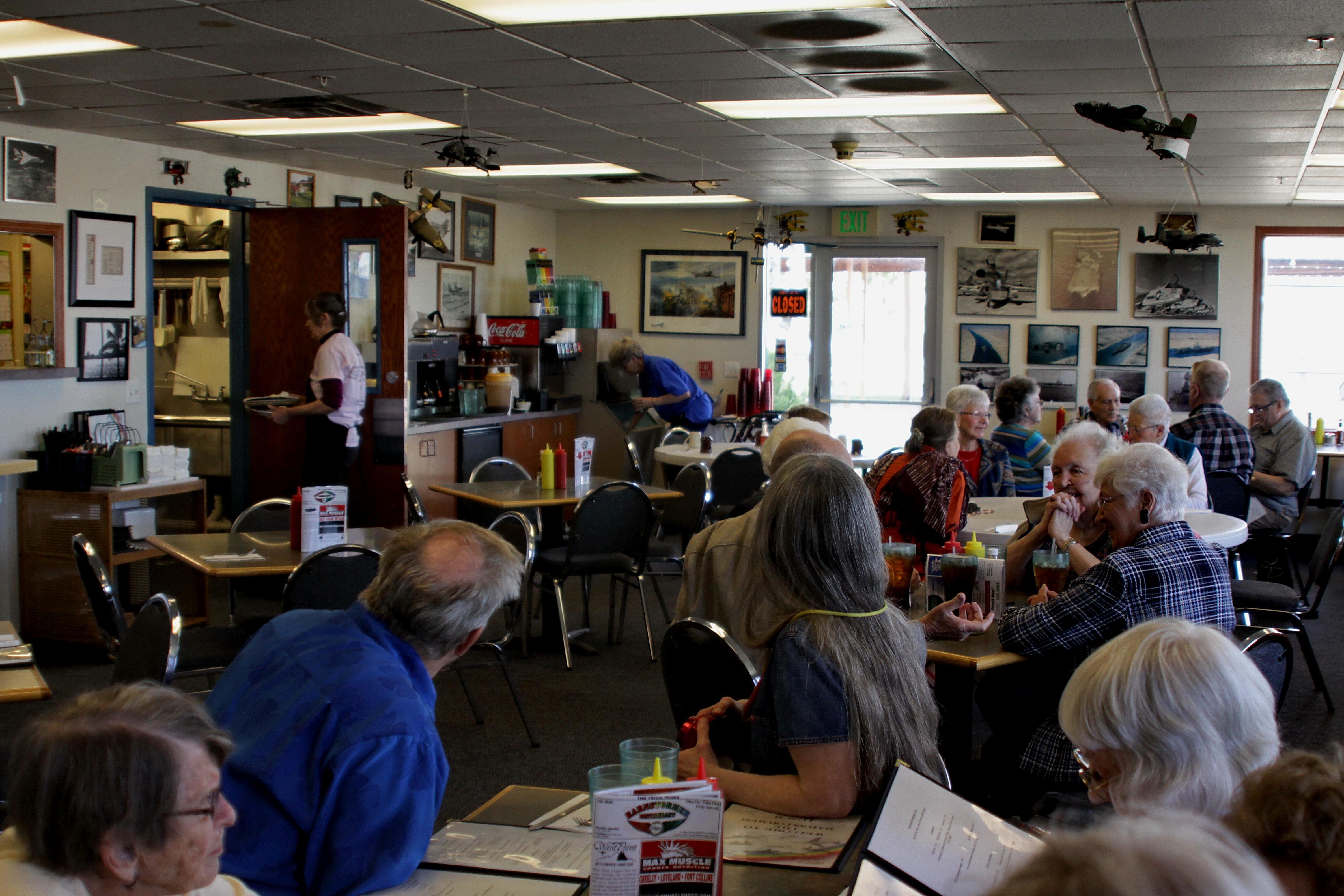
Can't-miss activities
Culture, natural beauty, and plain old fun.


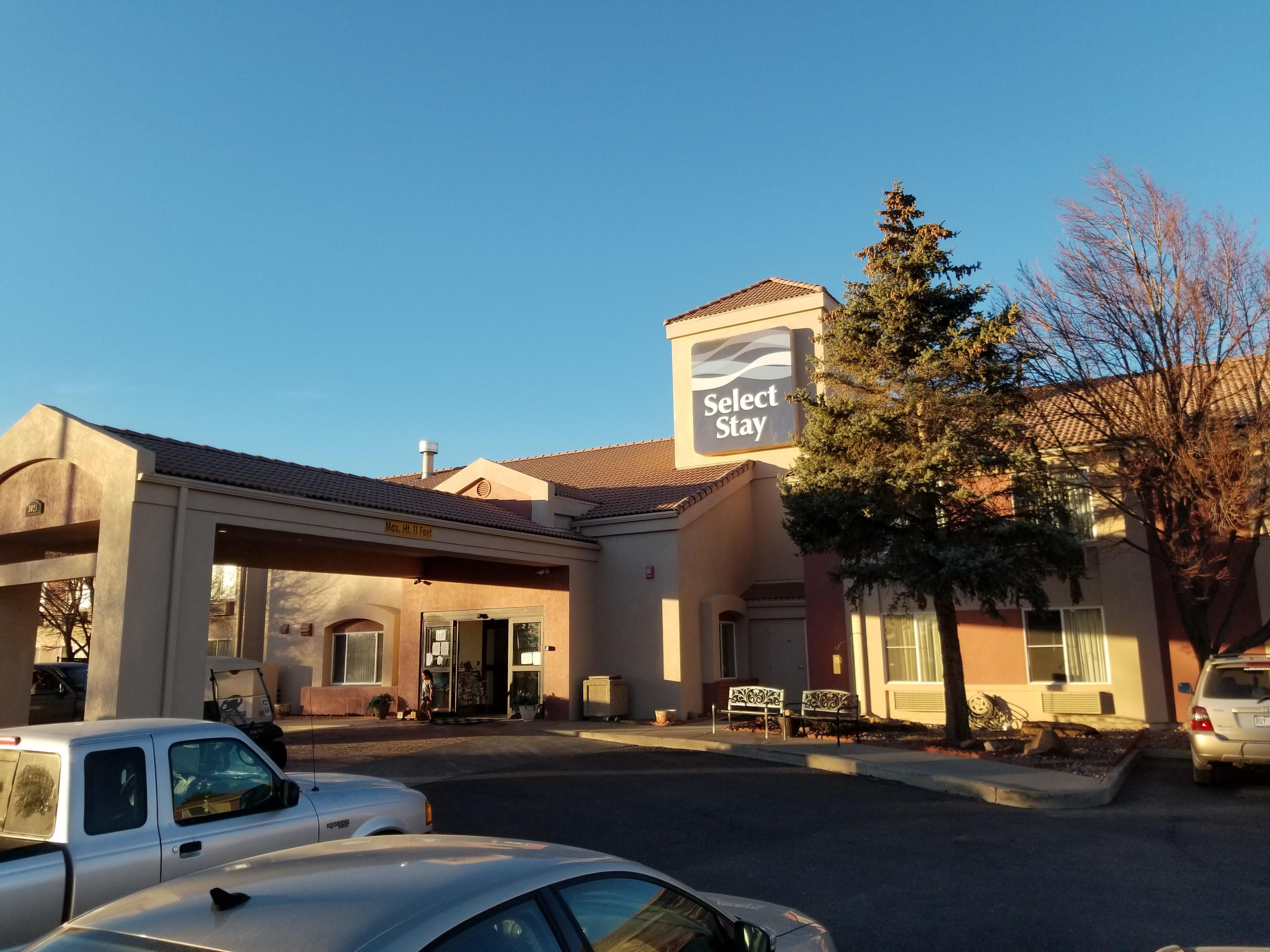
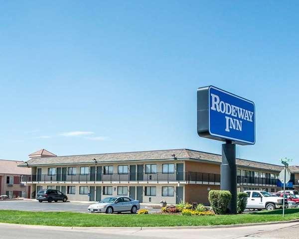
Places to stay
Hang your (vacation) hat in a place that’s just your style.