Hayden, CO
Hayden Map
Hayden is a Statutory Town in Routt County, Colorado, United States. The population was 1,634 at the 2000 census. The town sits along U.S. Highway 40 in the Yampa River Valley between Craig and Steamboat Springs. Historically a center of coal mining and agriculture, it consists today of a small cluster of homes and businesses. The town is named for Ferdinand Hayden, a surveyor who explored western Colorado during the late 19th century.
Hayden is located at 40°29?34?N 107°15?19?W / 40.49278°N 107.25528°W / 40.49278; -107.25528 (40.492731, -107.255186).
According to the United States Census Bureau, the town has a total area of 2.5 square miles (6.4 km²), all of it land.
Nearby cities include Craig.
Places in Hayden
Dine and drink
Eat and drink your way through town.


Can't-miss activities
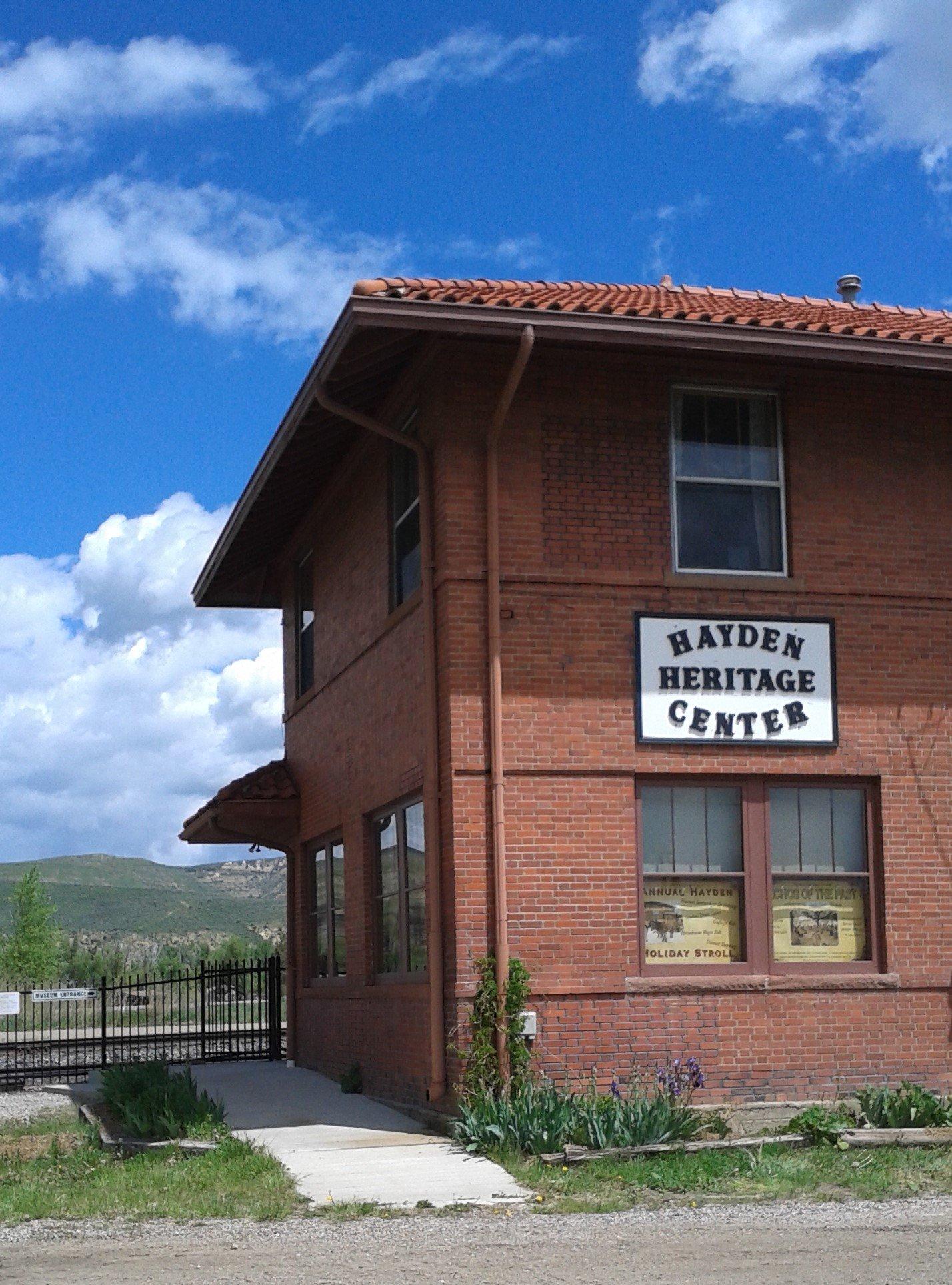
Culture, natural beauty, and plain old fun.


Places to stay
Hang your (vacation) hat in a place that’s just your style.