Clifton, CO
Clifton Map
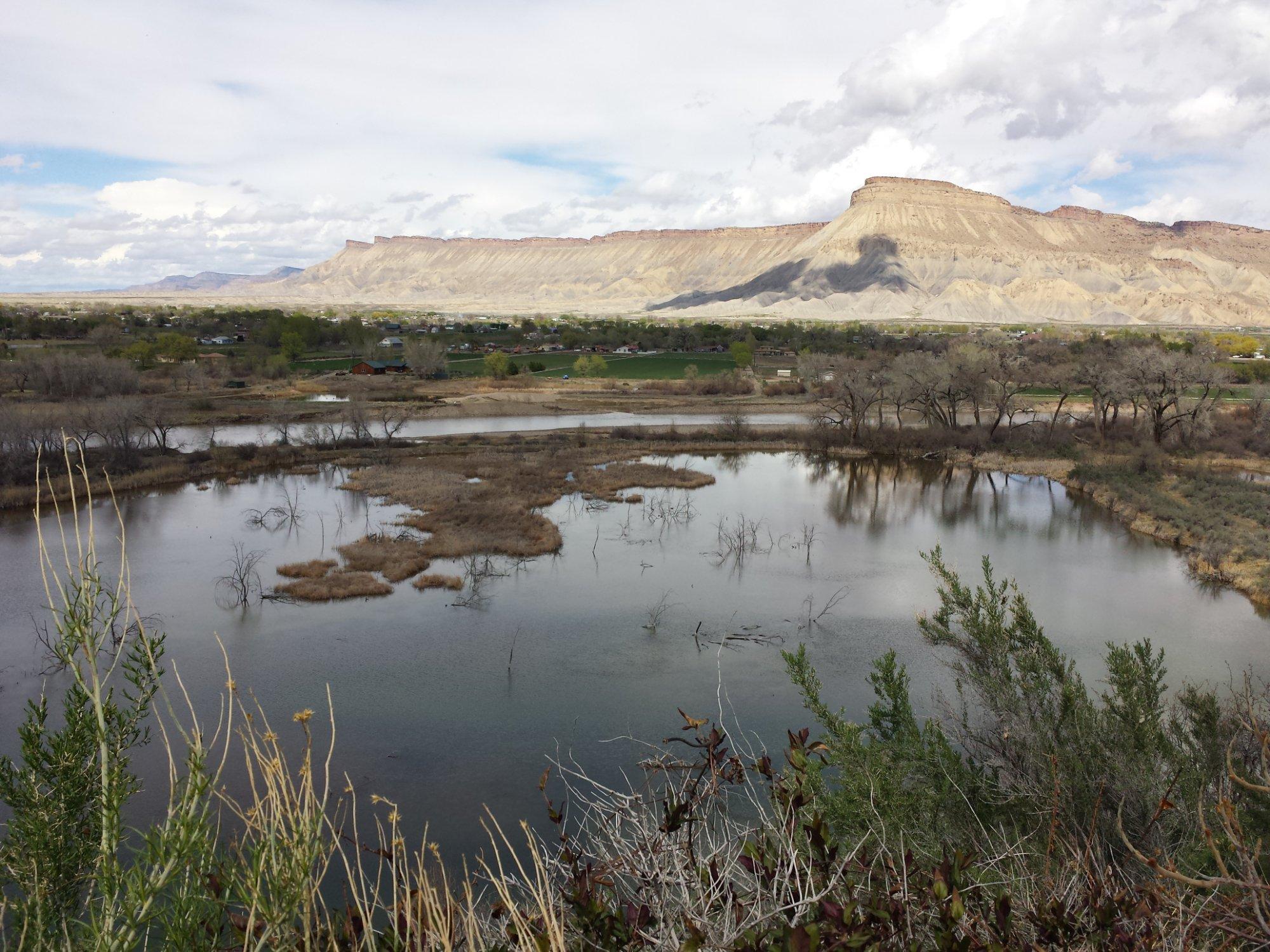
Clifton is a census-designated place (CDP) in Mesa County, Colorado, United States. It is part of the Grand Junction Metropolitan Statistical Area. The population was 19,889 at the 2010 census. The Clifton Post Office has the ZIP Code 81520.
Clifton is located at 39°4?39?N 108°27?51?W / 39.0775°N 108.46417°W / 39.0775; -108.46417 (39.077631, -108.464219).
According to the United States Census Bureau, the CDP has a total area of 6.8 square miles (17.7 km²), of which, 6.8 square miles (17.6 km²) of it is land and 0.1 square miles (0.2 km²) of it (1.17%) is water.
Nearby cities include Fruita, Palisade, Grand Junction.
Places in Clifton
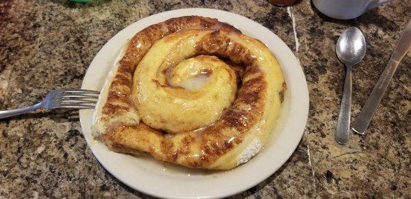
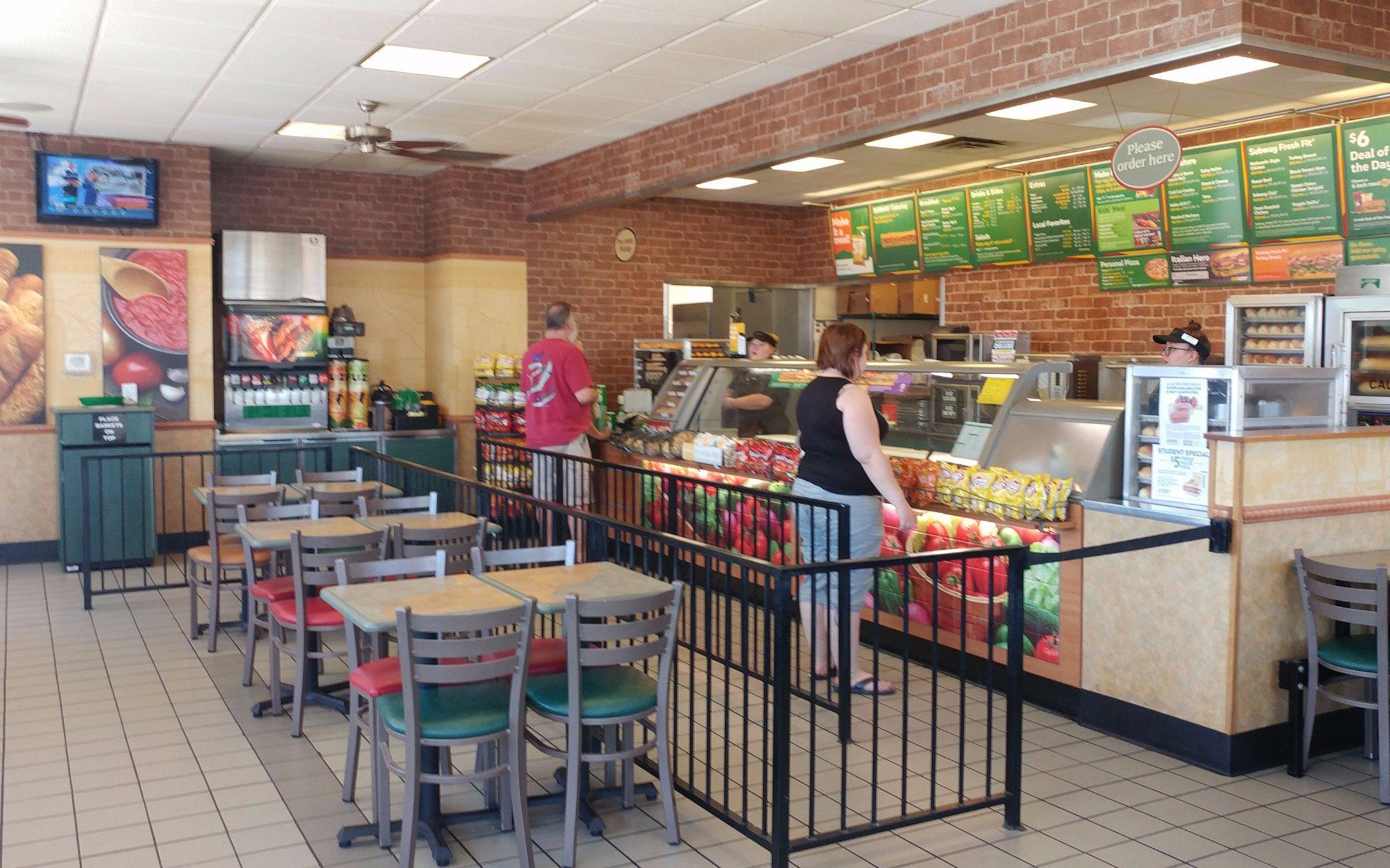
Dine and drink
Eat and drink your way through town.


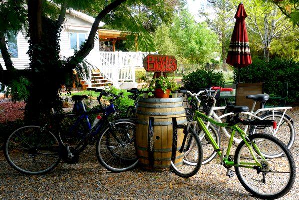
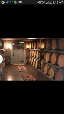
Can't-miss activities
Culture, natural beauty, and plain old fun.


Places to stay
Hang your (vacation) hat in a place that’s just your style.