Walnut Grove, CA
Walnut Grove Map
Walnut Grove is a census-designated place (CDP) in Sacramento County, California, United States. It is part of the Sacramento–Arden-Arcade–Roseville Metropolitan Statistical Area. The population was 1,542 at the 2010 census, up from 669 at the 2000 census.
Walnut Grove is located at 38°14?37?N 121°30?44?W / 38.24361°N 121.51222°W / 38.24361; -121.51222 (38.243490, -121.512100).
According to the United States Census Bureau, the CDP has a total area of 10.9 square miles (28.3 km²), of which, 10.2 square miles (26.4 km²) of it is land and 0.7 square miles (1.9 km²) of it (6.62%) is water.
Nearby cities include Rio Vista, Galt, Clarksburg, Woodbridge, Acampo.
Places in Walnut Grove
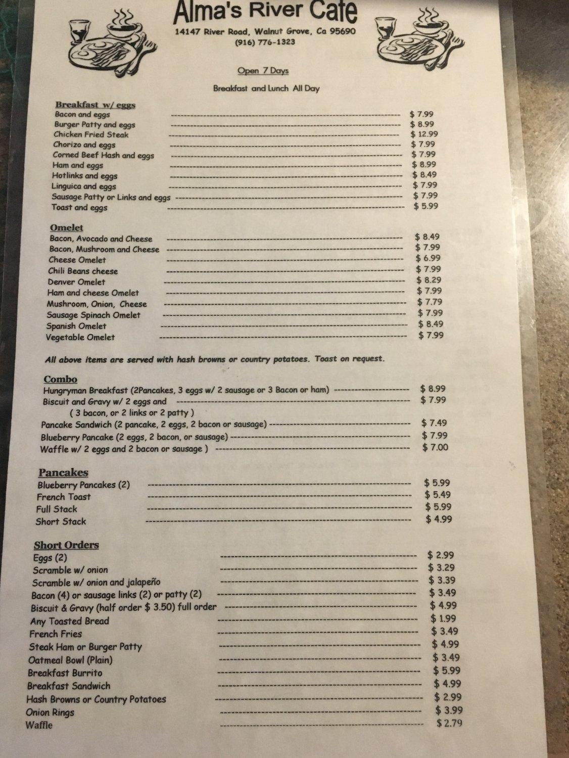
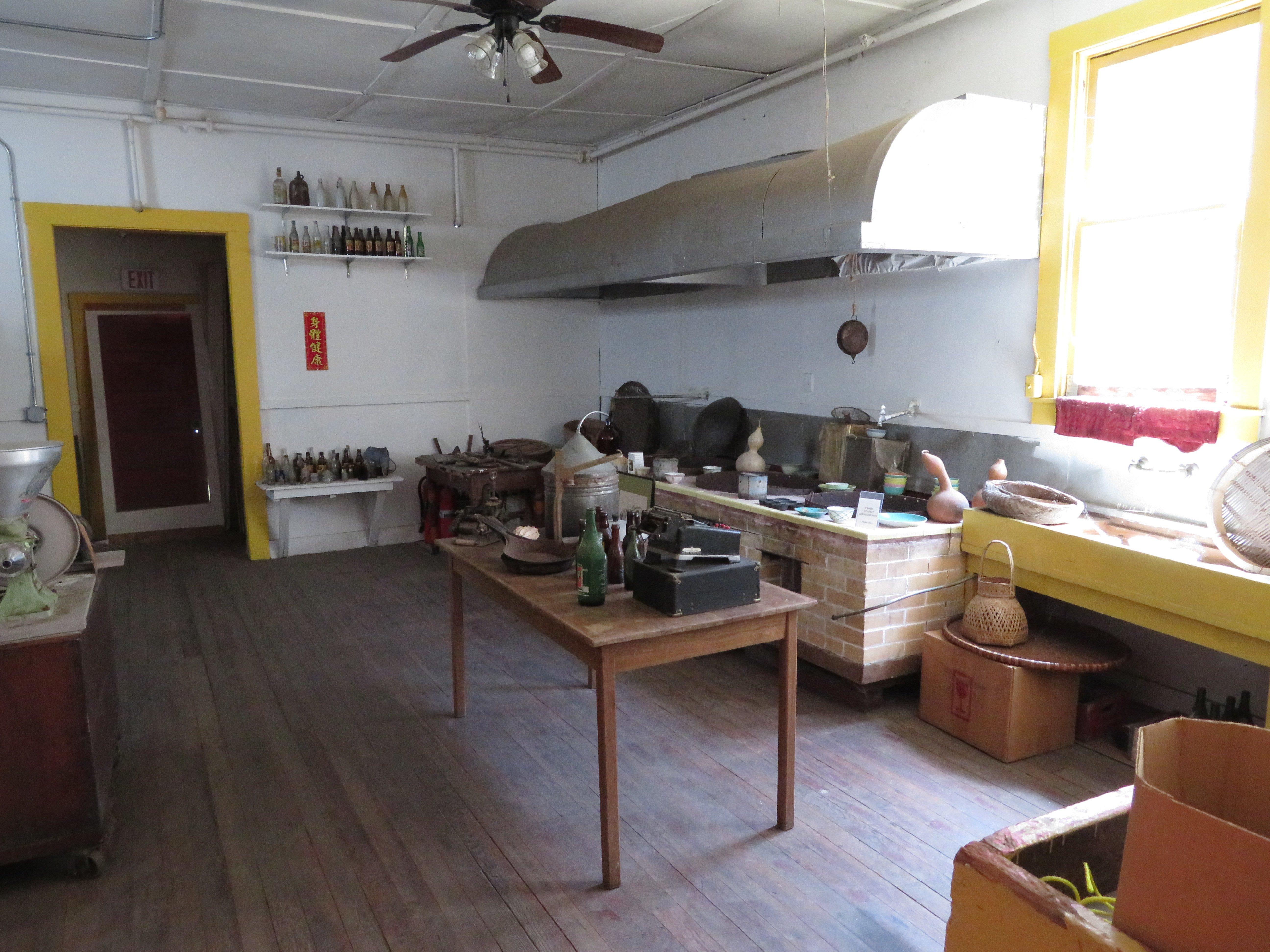
Dine and drink
Eat and drink your way through town.


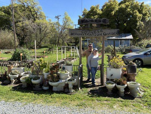
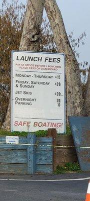
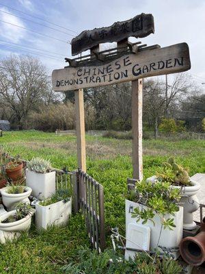
Can't-miss activities
Culture, natural beauty, and plain old fun.


Places to stay
Hang your (vacation) hat in a place that’s just your style.