Templeton, CA
Templeton Map
Templeton is a census-designated place (CDP) in San Luis Obispo County, California. The population was 7,674 at the 2010 census, up from 4,687 at the 2000 census.
Templeton is located at 35°33?14?N 120°42?34?W / 35.55389°N 120.70944°W / 35.55389; -120.70944 (35.553847, ?120.709469). It is approximately five miles south of Paso Robles and five miles (8 km) north of Atascadero along U.S. 101. State Route 46 intersects U.S. 101 on the north edge of the town.
According to the United States Census Bureau, the CDP has a total area of 7.8 square miles (20.1 km²), 99.37% of it land and 0.63% of it water. However, much of the surrounding unincorporated area between Atascadero and Paso Robles also considers itself part of Templeton, and U.S. mail is addressed likewise.
Nearby cities include Creston, Cayucos, San Miguel, Morro Bay, Los Osos.
Places in Templeton
Dine and drink
Eat and drink your way through town.


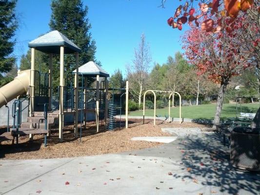
Can't-miss activities
Culture, natural beauty, and plain old fun.


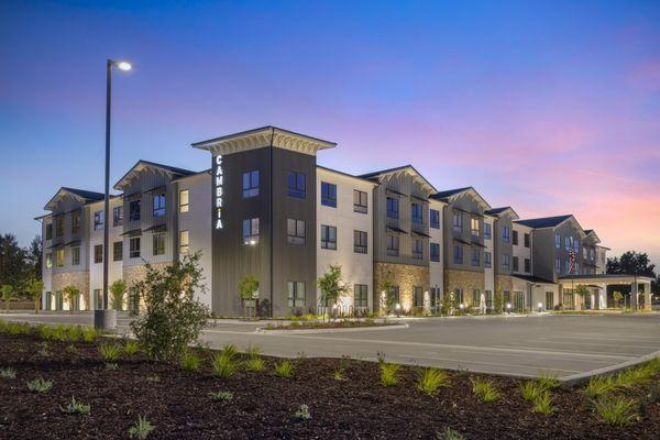
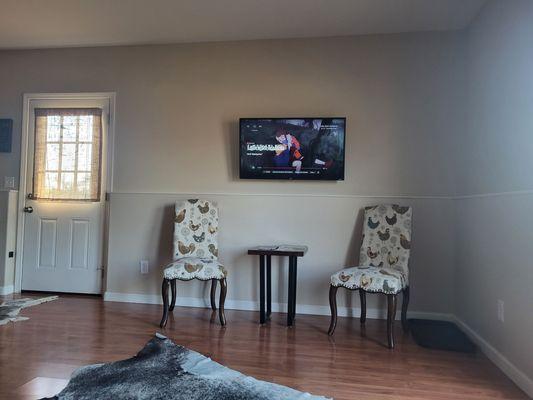
Places to stay
Hang your (vacation) hat in a place that’s just your style.