


Taylorsville, CA
Taylorsville, CA 95983
Taylorsville Map
Taylorsville is a census-designated place (CDP) in Plumas County, California, United States. The population was 150 at the 2010 census, down from 154 at the 2000 census.
Taylorsville is located at 40°4?25?N 120°50?17?W / 40.07361°N 120.83806°W / 40.07361; -120.83806 (40.073685, -120.838180).
According to the United States Census Bureau, the CDP has a total area of 3.2 square miles (8.4 km²), all of it land.
Nearby cities include Quincy, Meadow Valley, Cromberg, Crescent Mills, Greenville.
Places in Taylorsville
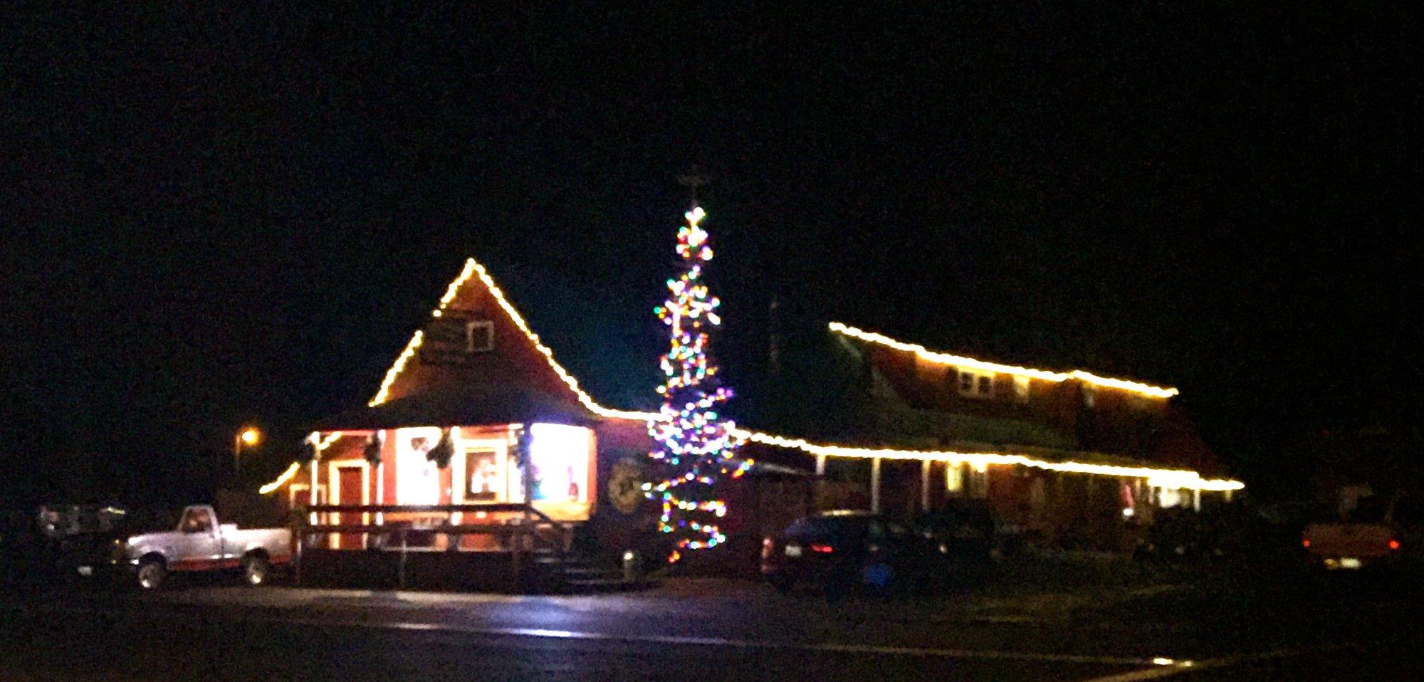
Dine and drink
Eat and drink your way through town.


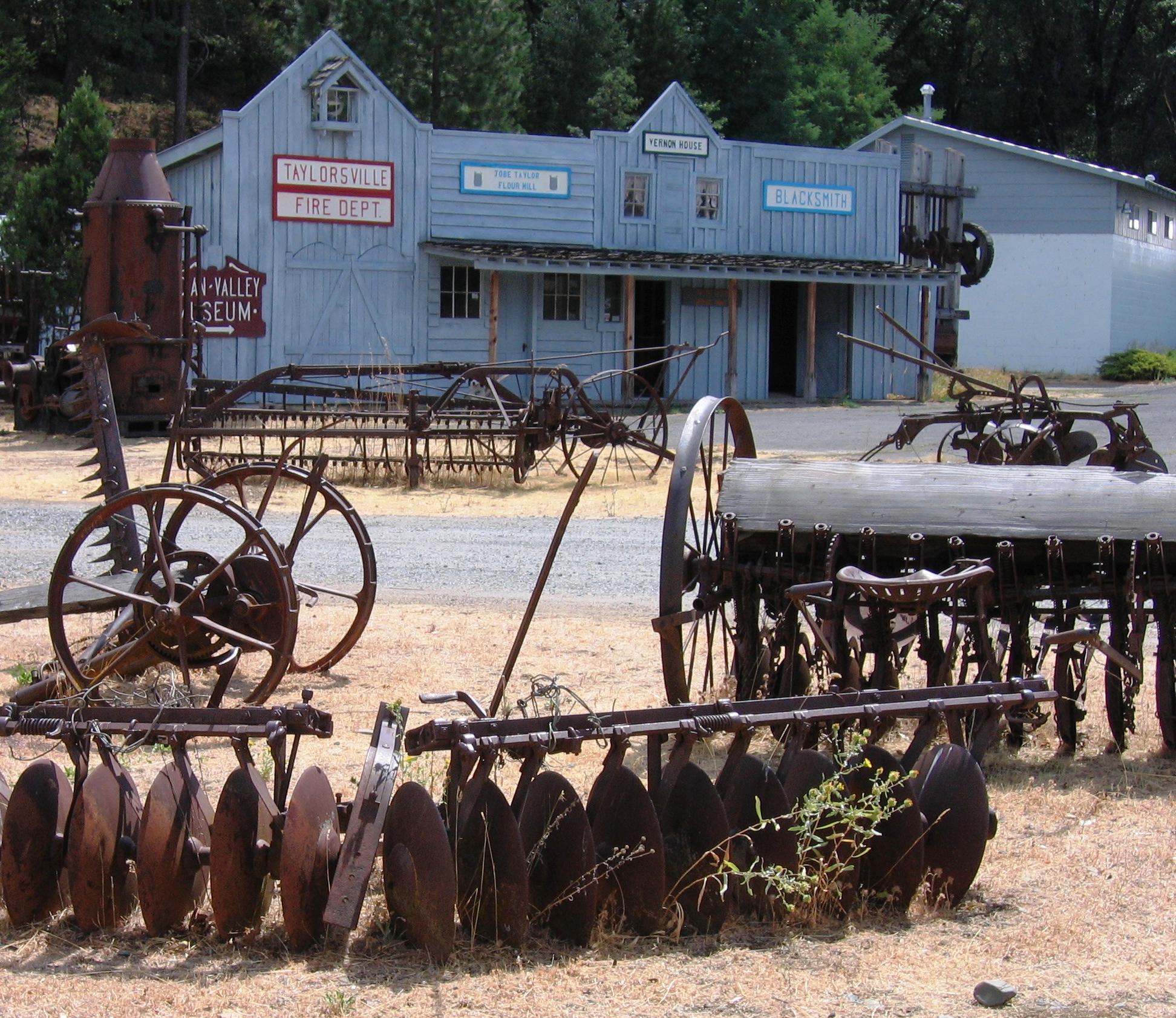
Can't-miss activities
Culture, natural beauty, and plain old fun.


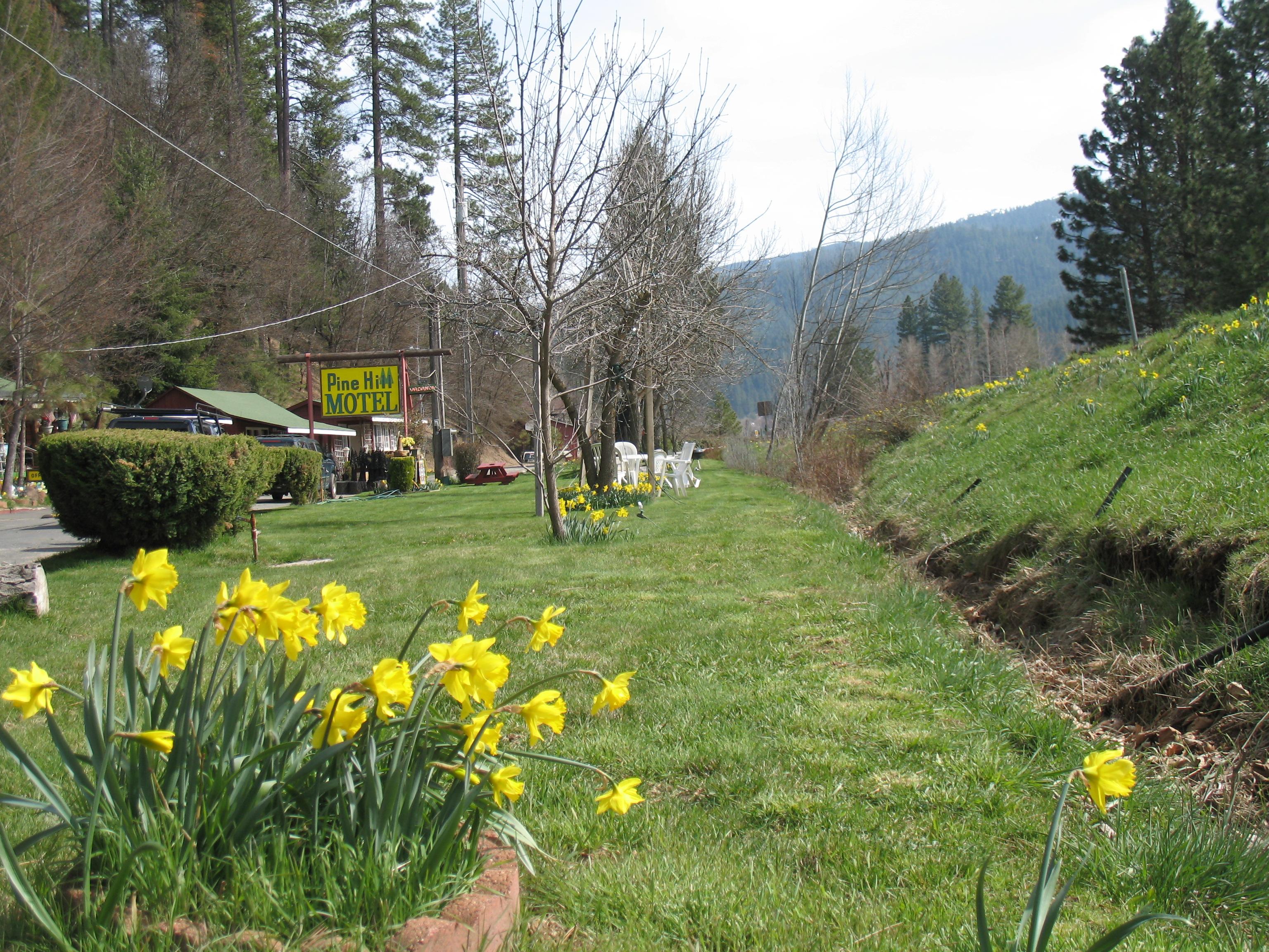
Places to stay
Hang your (vacation) hat in a place that’s just your style.


See a problem?