Tahoma, CA
Tahoma, CA Map
Tahoma is a US city in Placer County in the state of California. Located at the longitude and latitude of -120.128000, 39.067500 and situated at an elevation of 6,270 meters. In the 2020 United States Census, Tahoma, CA had a population of 1,034 people. Tahoma is in the Pacific Standard Time timezone at Coordinated Universal Time (UTC) -8. Find directions to Tahoma, CA, browse local businesses, landmarks, get current traffic estimates, road conditions, and more.
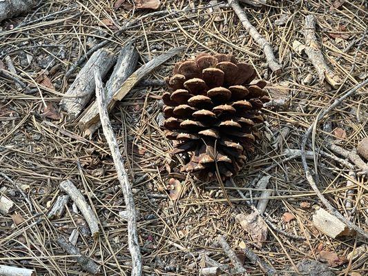
Tahoma, located in the state of California, is a serene and picturesque community nestled along the western shore of Lake Tahoe. Known for its stunning natural beauty, Tahoma offers a tranquil escape for those seeking outdoor adventures or a peaceful retreat. The area is renowned for its access to the crystal-clear waters of Lake Tahoe, making it a popular destination for boating, fishing, and swimming during the warmer months. In the winter, visitors and residents alike can enjoy cross-country skiing and snowshoeing in the surrounding forests.
One of the notable attractions in Tahoma is the Sugar Pine Point State Park, which boasts beautiful hiking trails and a pristine lakeside setting. The park is also home to the historic Hellman-Ehrman Mansion, a testament to the region's rich history. Built in the early 20th century, the mansion offers a glimpse into the opulent summer lifestyle of the wealthy families who once vacationed here. Overall, Tahoma's blend of natural splendor and historical significance makes it a charming and worthwhile destination.
Nearby cities include: Glenbrook, NV, Zephyr Cove, NV, Olympic Valley, CA, Round Hill, NV, Carnelian Bay, CA, Stateline, NV, South Lake Tahoe, CA, Crystal Bay, NV, Tahoe Vista, CA, Kings Beach, CA.
Places in Tahoma
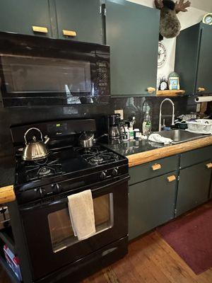
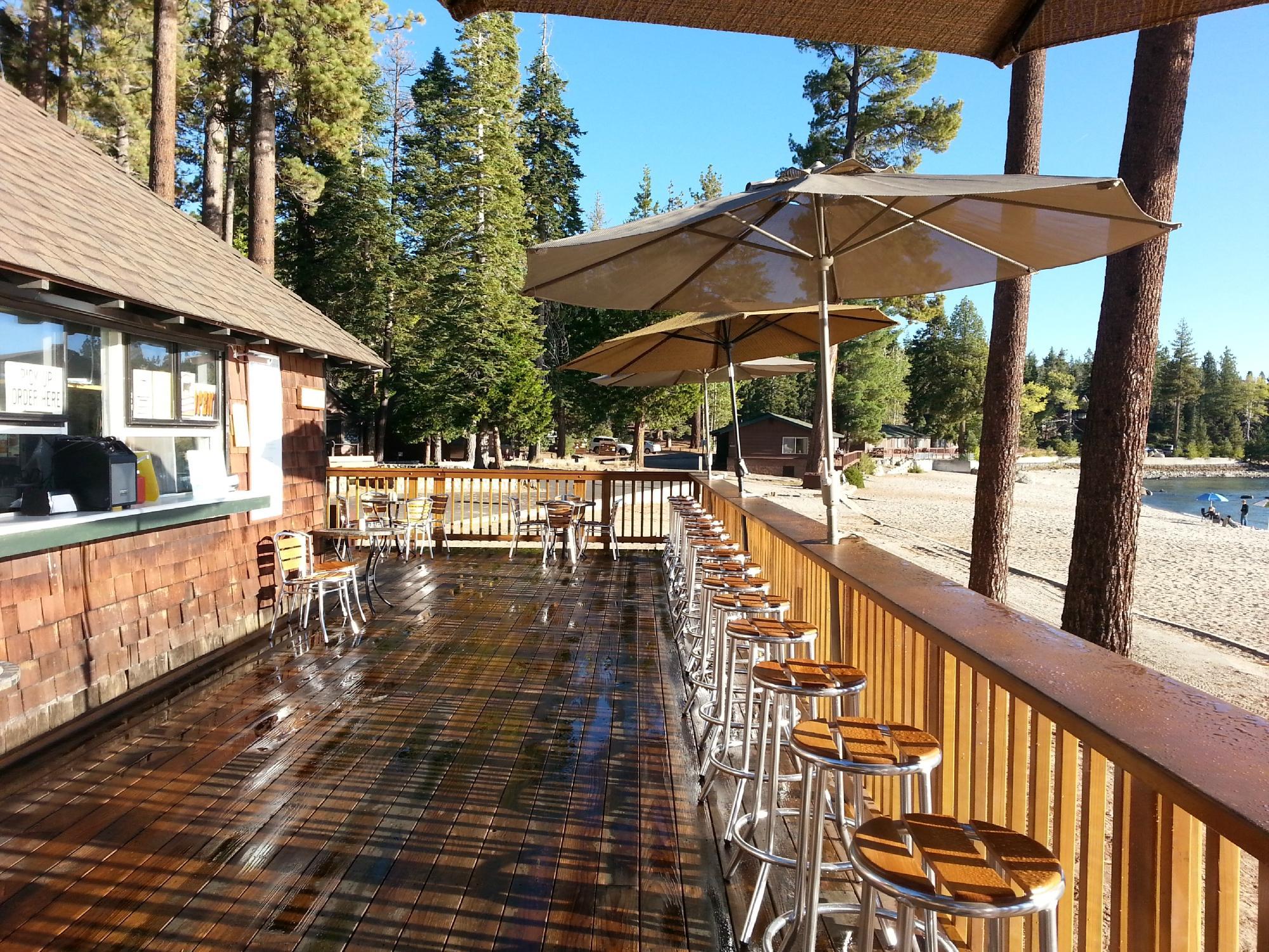
Dine and drink
Eat and drink your way through town.


Can't-miss activities
Culture, natural beauty, and plain old fun.
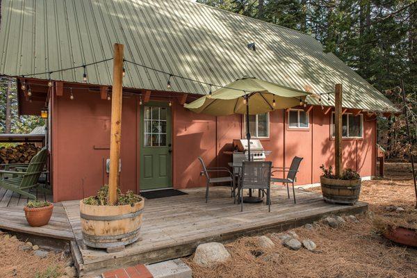
Places to stay
Hang your (vacation) hat in a place that’s just your style.