Santa Ynez, CA
Santa Ynez Map
Santa Ynez is a census-designated place (CDP) in Santa Barbara County, California, United States. The town of Santa Ynez is one of the communities that make up the Santa Ynez Valley, and features the Santa Ynez Airport for general aviation with a paved 2804 x 75 foot runway. The population was 4,418 at the 2010 census, down from 4,584 at the 2000 census. It is named after Saint Agnes, Ynez being the former Spanish language spelling.
Santa Ynez is located at 34°36?43?N 120°5?18?W / 34.61194°N 120.08833°W / 34.61194; -120.08833 (34.612080, -120.088262).
According to the United States Census Bureau, the CDP has a total area of 5.1 square miles (13.3 km²), 99.86% of it land, and 0.14% of it covered by water. Santa Ynez is located about 40 miles north of Santa Barbara, CA and is known for its world-class wineries.
Nearby cities include Los Alamos, Goleta, Isla Vista, Solvang, Los Olivos.
Browse Top Places in Santa Ynez, CA- Pizza
- Liquor Store
- Fast Food
- Breakfast
- Places To Eat
- Movies
- Car Wash
- Post Office
- Oil Change
- Food
- Mexican Food
- Laundromat
- Bowling
- Furniture Stores
- Thai Food
- Indian Food
- Social Security Office
- Beauty Supply
- Library
- Dispensary
- Pharmacy
- Pawn Shop
- Massage
- Chinese Food
- Eye Doctor
- Convenience Store
- Car Rental
- Pet Store
- Seafood
- Chiropractor
- Apartments
- Bars
- Dermatologist
- Banks
- Theaters
- Healthy Food
- Gyms
- Grocery Store
- Locksmith
- Check Cashing
- Spa
- Arcade
- Auto Parts
- Plumbers
- Asian Food
- Jamaican Food
- Shopping
- Soul Food
- Clothing Stores
- Estate Sales
- Sandwiches
- Campgrounds
- Tire Shop
- Doctors
Places in Santa Ynez
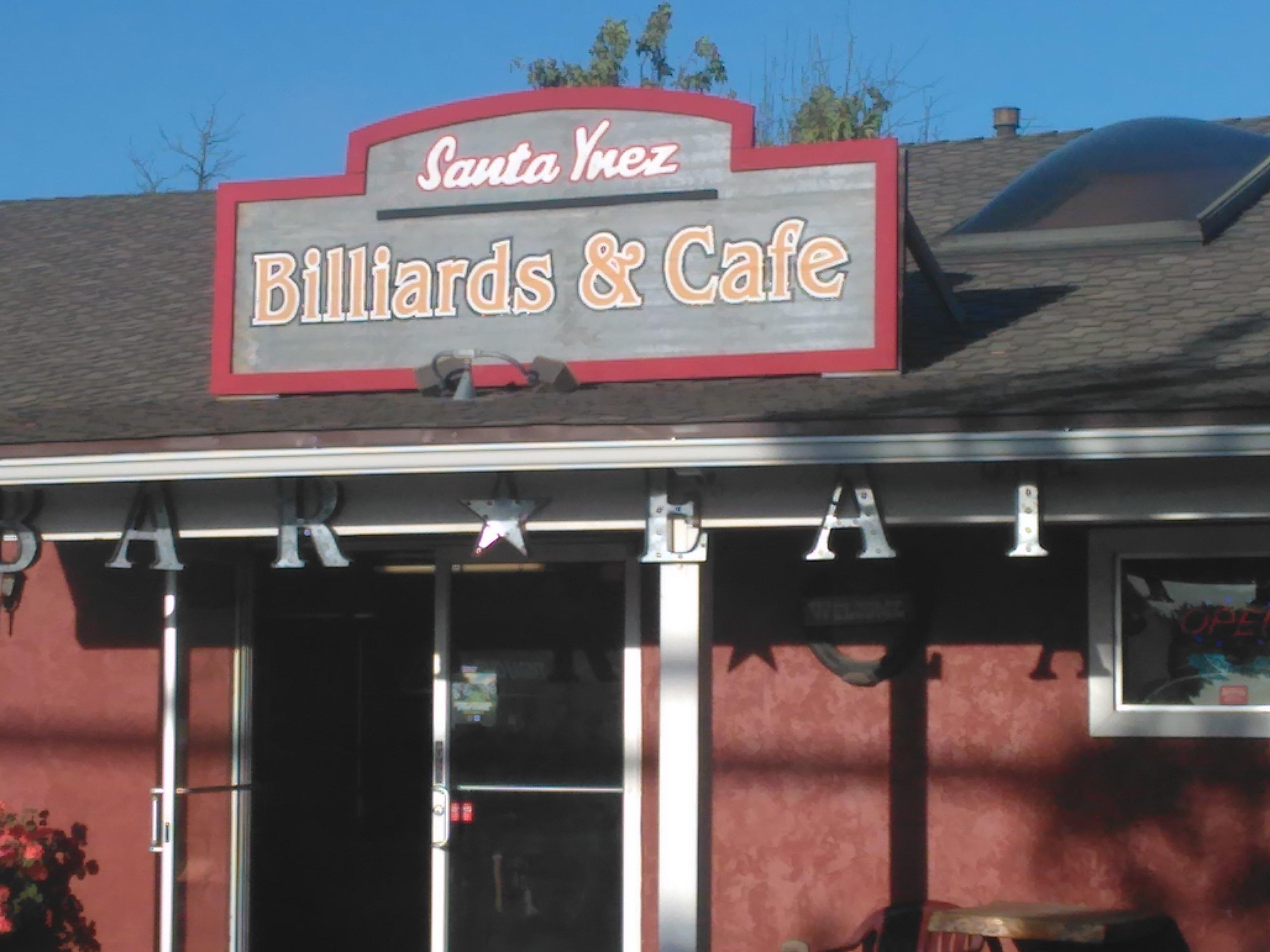
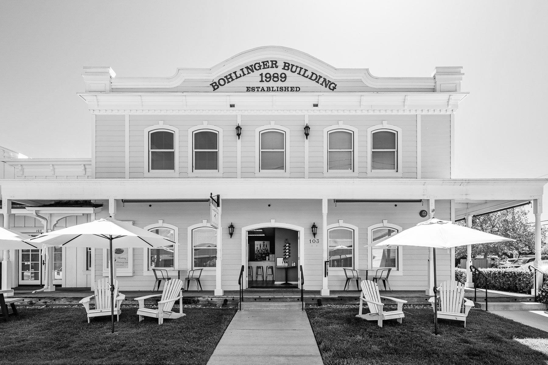
Dine and drink
Eat and drink your way through town.


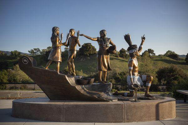
Can't-miss activities
Culture, natural beauty, and plain old fun.


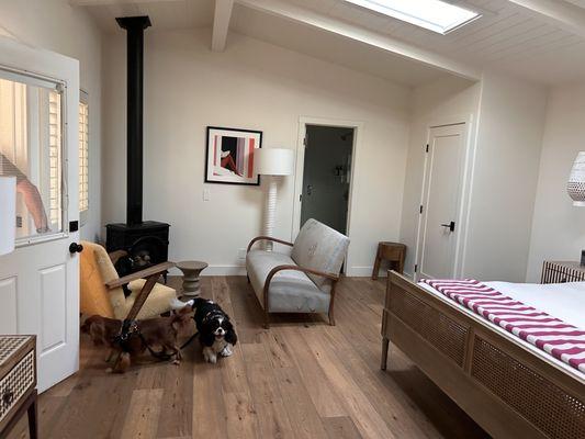
Places to stay
Hang your (vacation) hat in a place that’s just your style.