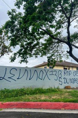
Lennox, CA
Lennox Map
Lennox is a census-designated place (CDP) in Los Angeles County, California, United States. The population was 22,753 at the 2010 census, down from 22,950 at the 2000 census.
Lennox's boundaries are Century Blvd. to the north (along with neighboring cities of Inglewood and Los Angeles), Interstate 405 (the San Diego Freeway, a.k.a. "the 405") to the west, and Interstate 105 (the Glenn Anderson Freeway) to the south. Hawthorne Boulevard and Prairie Avenue make up portions of its eastern boundary with Inglewood. The city sits underneath the flight path of passenger jets landing at LAX.
According to the United States Census Bureau, the CDP has a total area of 1.1 square miles (2.8 km²), all land.
Nearby cities include Hawthorne, Inglewood, Bell, Beverly Hills, Los Angeles.
Places in Lennox
Dine and drink
Eat and drink your way through town.


Can't-miss activities
Culture, natural beauty, and plain old fun.


Places to stay
Hang your (vacation) hat in a place that’s just your style.