


Keene, CA
Keene, CA 93531
Keene Map
Keene (formerly, Wells) is a census-designated place (CDP) in Kern County, California in the foothills of the Tehachapi Mountains at the southern extreme of the San Joaquin Valley. Keene is located 8.5 miles (14 km) northwest of Tehachapi, at an elevation of 2602 feet (793 m). The population was 431 at the 2010 census, up from 339 at the 2000 census.
The headquarters of the United Farm Workers (UFW), a national farmworkers organization organized and led by Cesar Chavez, is located in Keene.
Keene is located at 35°13?25?N 118°33?44?W / 35.22361°N 118.56222°W / 35.22361; -118.56222.
Places in Keene
Dine and drink
Eat and drink your way through town.


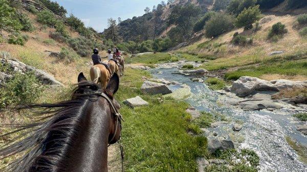
Can't-miss activities
Culture, natural beauty, and plain old fun.


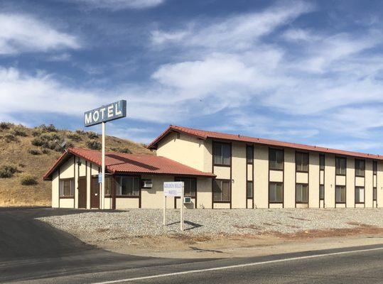
Places to stay
Hang your (vacation) hat in a place that’s just your style.


See a problem?