


Groveland, CA
Groveland, CA 95321
Groveland Map
Groveland is a census-designated place (CDP) in Tuolumne County, California. Groveland sits at an elevation of 3,136 feet (956 m). The 2010 United States census reported Groveland's population was 601.
Groveland was created a CDP prior to the 2010 census; previously it was part of Groveland-Big Oak Flat CDP.
According to the United States Census Bureau, the CDP covers an area of 9.6 square miles (24.8 km²), 99.94% of it land and 0.06% of it water.
Nearby cities include Soulsbyville, Sonora, Jamestown, Twain Harte, Westwood.
Places in Groveland
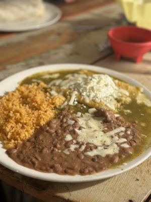
Dine and drink
Eat and drink your way through town.


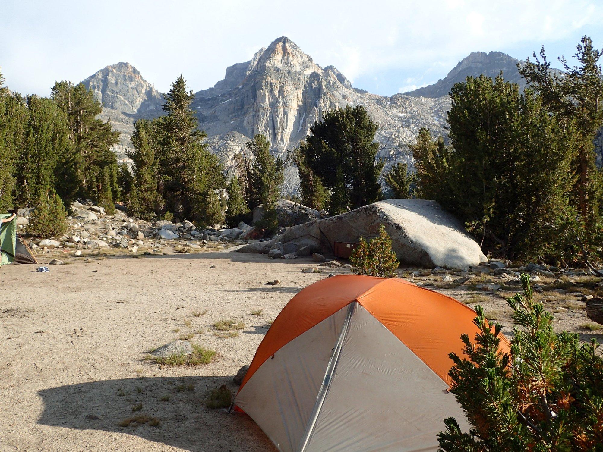
Can't-miss activities
Culture, natural beauty, and plain old fun.


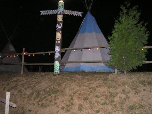
Places to stay
Hang your (vacation) hat in a place that’s just your style.

See a problem?