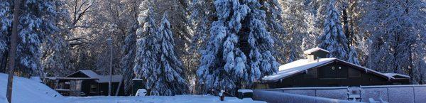
Coarsegold, CA
Coarsegold Map
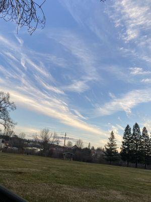
Coarsegold (formerly, Coarse Gold, Gold Gulch, Michaels, Oro Grosso, Texas Flat, and Coarse Gold Gulch) is a census-designated place in Madera County, California. It is located 8 miles (13 km) south-southwest of Yosemite Forks, at an elevation of 2218 feet (676 m). The population was 1,840 at the 2010 census.
The place was first called Texas Flat after miners from Texas discovered gold there in 1849. By 1874, the name had changed to Michaels, honoring Charles Michaels, a local merchant. A rival mining camp inhabited by Mexicans there was called Oro Grosso.
The current name derives from the California Gold Rush of the mid-19th century, when prospectors discovered coarse lumps of gold in a nearby creek. At one time, several dozen gold mines operated in the area.
Nearby cities include Fish Camp, Auberry, Friant, Oakhurst, Ahwahnee.
Browse Top Places in Coarsegold, CA- Pizza
- Liquor Store
- Fast Food
- Breakfast
- Places To Eat
- Movies
- Car Wash
- Post Office
- Oil Change
- Food
- Mexican Food
- Laundromat
- Bowling
- Furniture Stores
- Thai Food
- Indian Food
- Social Security Office
- Beauty Supply
- Library
- Dispensary
- Pharmacy
- Pawn Shop
- Massage
- Chinese Food
- Eye Doctor
- Convenience Store
- Car Rental
- Pet Store
- Seafood
- Chiropractor
- Apartments
- Bars
- Dermatologist
- Banks
- Theaters
- Healthy Food
- Gyms
- Grocery Store
- Locksmith
- Check Cashing
- Spa
- Arcade
- Auto Parts
- Plumbers
- Asian Food
- Jamaican Food
- Shopping
- Soul Food
- Clothing Stores
- Estate Sales
- Sandwiches
- Campgrounds
- Tire Shop
- Doctors
Places in Coarsegold
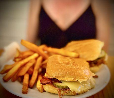
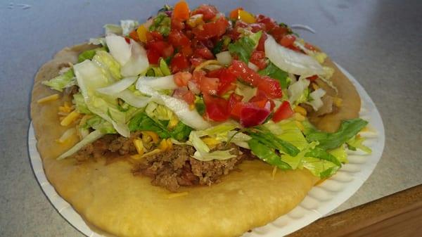
Dine and drink
Eat and drink your way through town.


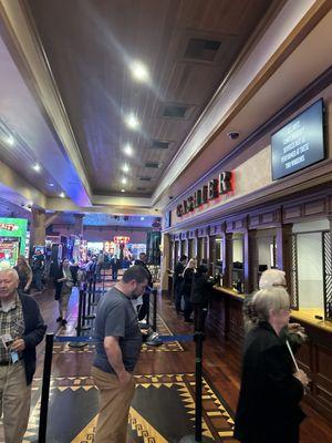
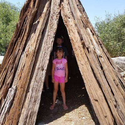
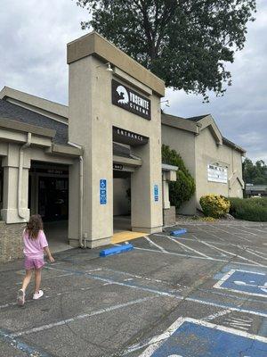
Can't-miss activities
Culture, natural beauty, and plain old fun.

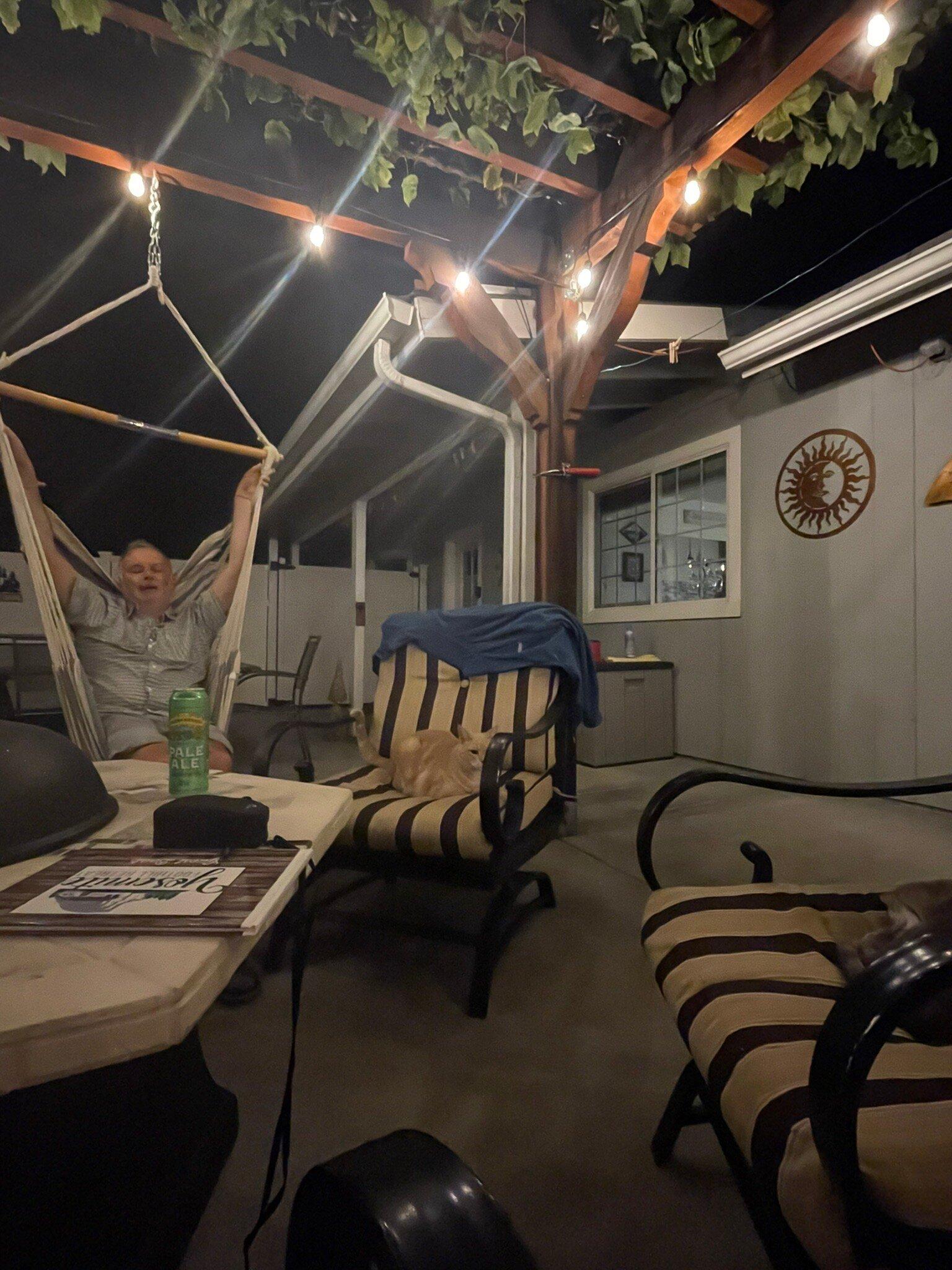
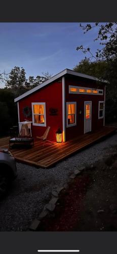
Places to stay
Hang your (vacation) hat in a place that’s just your style.