Camp Meeker, CA
Camp Meeker, CA Map
Camp Meeker is a US city in Sonoma County in the state of California. Located at the longitude and latitude of -122.959440, 38.425190 and situated at an elevation of 101 meters. In the 2020 United States Census, Camp Meeker, CA had a population of 2,461 people. Camp Meeker is in the Pacific Standard Time timezone at Coordinated Universal Time (UTC) -8. Find directions to Camp Meeker, CA, browse local businesses, landmarks, get current traffic estimates, road conditions, and more.
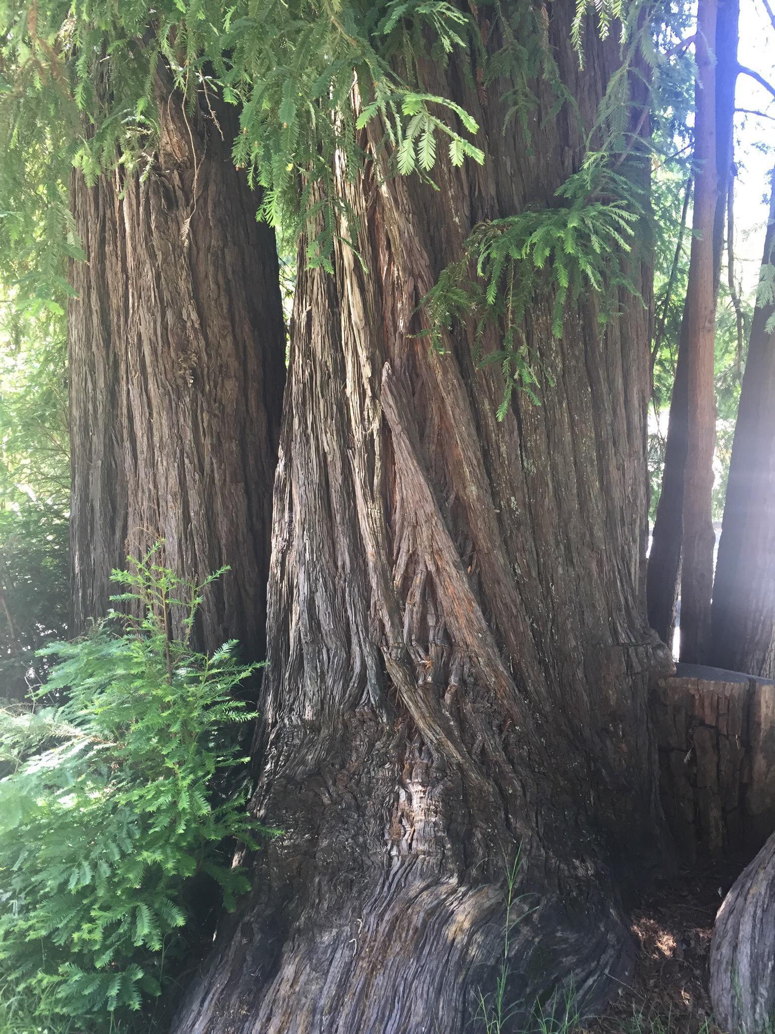
Camp Meeker, located in the state of California, is a charming and woodsy enclave known for its serene natural beauty. Nestled amidst the towering redwoods, it offers a tranquil retreat from the hustle and bustle of urban life. The area is characterized by its lush landscapes and a network of trails perfect for hiking and exploring the great outdoors. Historically, Camp Meeker was established in the late 19th century as a logging area and later transformed into a summer resort destination, attracting visitors with its picturesque setting and cooler climate.
One of the standout attractions in Camp Meeker is the Dutch Bill Creek, a lovely waterway that meanders through the area, providing a peaceful backdrop for picnics and leisurely strolls. Another notable spot is the Anderson Hall, a historic community center that hosts a variety of local events and gatherings, reflecting the tight-knit community spirit of the town. Despite its small size, Camp Meeker's rich history and natural allure make it a unique destination for those seeking a quiet escape in the heart of nature.
Nearby cities include: Occidental, CA, Monte Rio, CA, Graton, CA, Forestville, CA, Bodega, CA, Guerneville, CA, Sereno del Mar, CA, Sebastopol, CA, Valley Ford, CA, Bodega Bay, CA.
Places in Camp Meeker
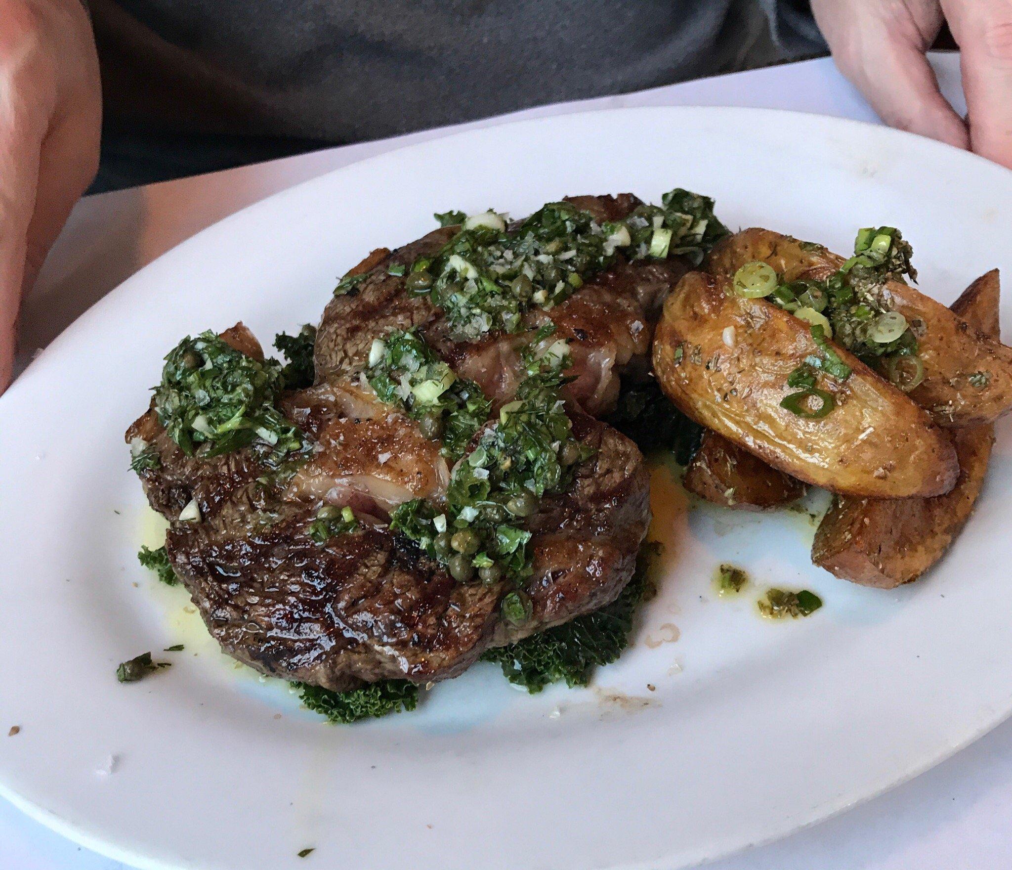
Dine and drink
Eat and drink your way through town.


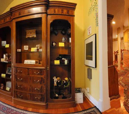
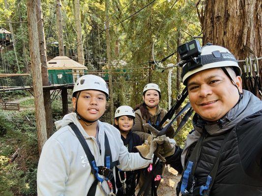
Can't-miss activities
Culture, natural beauty, and plain old fun.


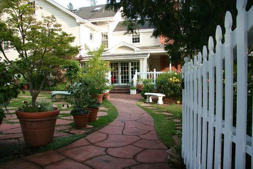
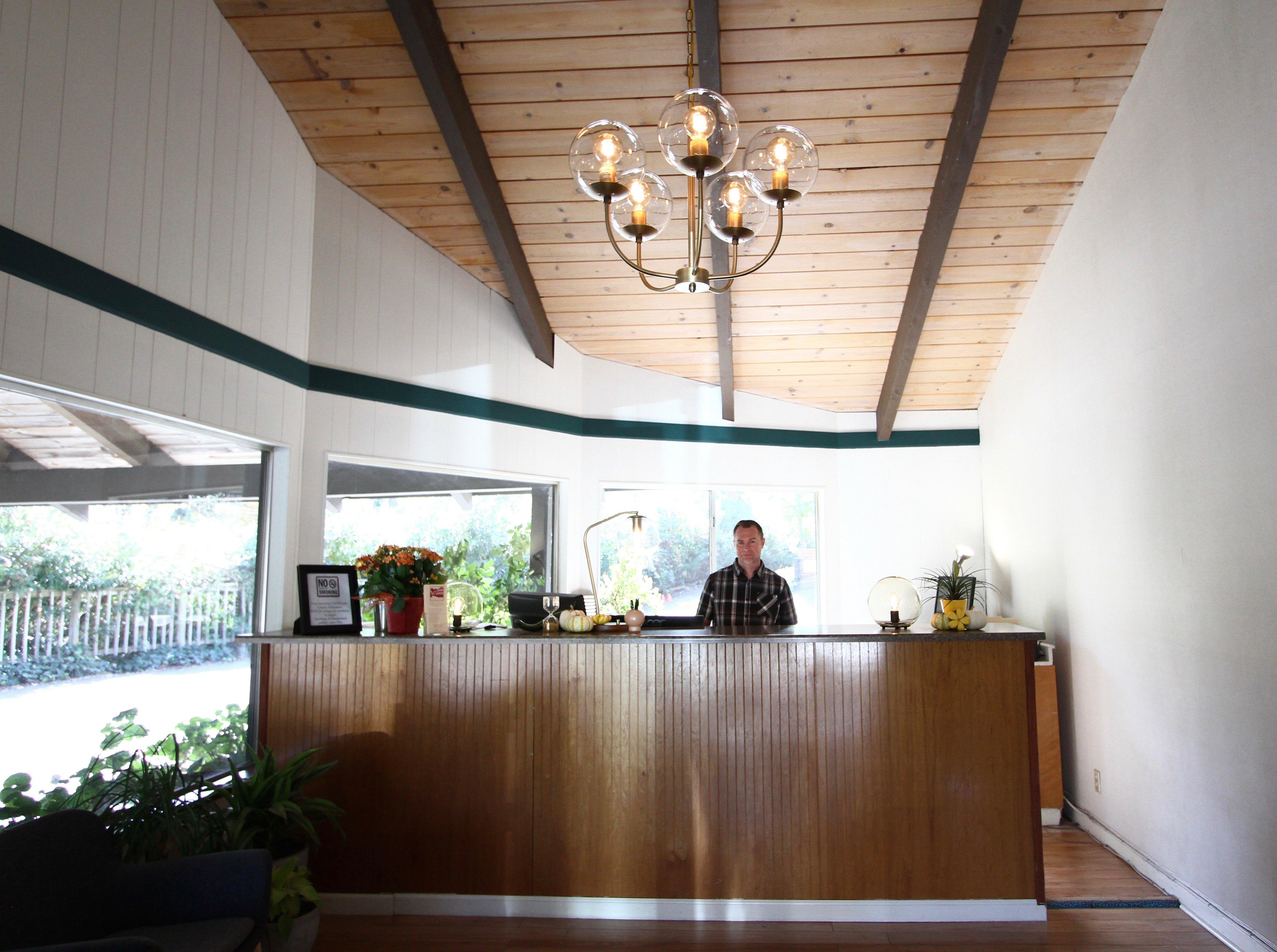
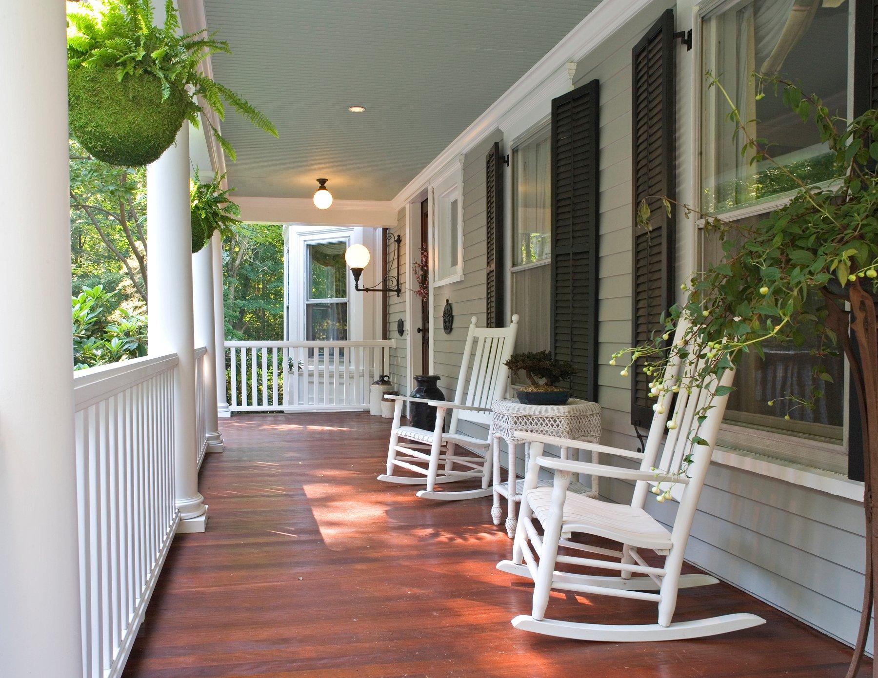
Places to stay
Hang your (vacation) hat in a place that’s just your style.