


Aerial Gis Technology
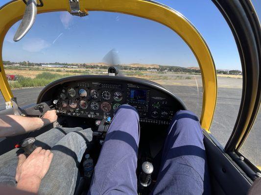
Aerial GIS Technology, a division of TeamBuilders, Inc., is a leading provider of aerial camera and systems technology integration in Livermore, CA. With a focus on cost-effectiveness and high-quality results, they offer aerial photography, data analysis, and target identification services, along with compatibility with popular GIS programs.
Since their establishment in 2006, Aerial GIS Technology has continuously improved their capabilities, integrating patent-pending camera systems, powerful lenses, and flight planning software. They have successfully executed large-scale surveys, delivering accurate and detailed data in a remarkably short turnaround time. Additionally, they provide digital photo maps compatible with various mapping systems and offer a wide range of data for mapping schemas, making them a reliable choice for photo mapping needs.
Generated from the website
Also at this address

You might also like
Partial Data by Infogroup (c) 2025. All rights reserved.