Ozark, AR
Ozark Map
Ozark is a city in Franklin County, Arkansas, United States, and (along with Charleston) one of the two county seats of Franklin County. It is part of the Fort Smith, Arkansas-Oklahoma Metropolitan Statistical Area. The population was 3,525 at the 2000 census, making Ozark the ninth largest municipality in the metro area. Ozark is the point at which the Arkansas River is farthest north in the state. The name "Aux Arc", later simplified to Ozark, was given to this bend of the river by the French explorers when they were mapping out this land.
Ozark is located at 35°29?34?N 93°50?14?W / 35.49278°N 93.83722°W / 35.49278; -93.83722 (35.492713, -93.837096).
According to the United States Census Bureau, the city has a total area of 7.2 square miles (18.7 km²), of which, 7.2 square miles (18.6 km²) of it is land and 0.04 square miles (0.1 km²) of it (0.55%) is water.
Nearby cities include Hartman, Mulberry, Ratcliff, Branch, Paris.
Places in Ozark
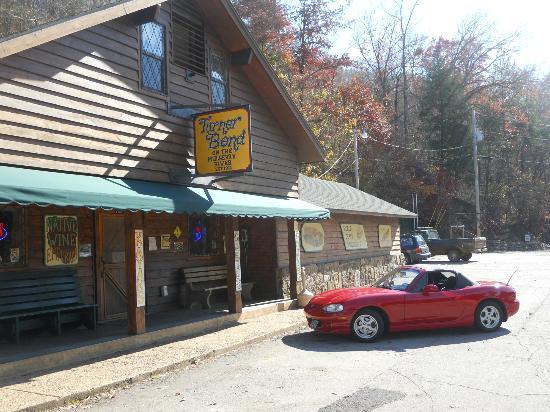
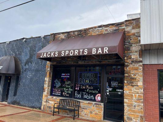
Dine and drink
Eat and drink your way through town.


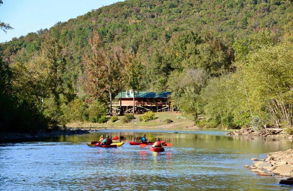
Can't-miss activities
Culture, natural beauty, and plain old fun.


Places to stay
Hang your (vacation) hat in a place that’s just your style.