


Knoxville, AR
Knoxville, AR 72845
Knoxville Map
Knoxville is a city in Johnson County, Arkansas, United States. The population was 511 at the 2000 census.
Knoxville is located at 35°22?59?N 93°21?57?W / 35.38306°N 93.36583°W / 35.38306; -93.36583 (35.382929, -93.365747).
According to the United States Census Bureau, the city has a total area of 2.2 square miles (5.7 km²), all of it land.
Nearby cities include Scranton, Dover, Russellville, Hartman, Dardanelle.
Places in Knoxville
Dine and drink
Eat and drink your way through town.


Can't-miss activities
Culture, natural beauty, and plain old fun.

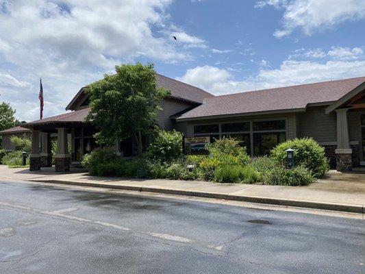
Places to stay
Hang your (vacation) hat in a place that’s just your style.


See a problem?