Higden, AR
Higden, AR Map
Higden is a US city in Cleburne County in the state of Arkansas. Located at the longitude and latitude of -92.203611, 35.570833 and situated at an elevation of 160 meters. In the 2020 United States Census, Higden, AR had a population of 114 people. Higden is in the Central Standard Time timezone at Coordinated Universal Time (UTC) -6. Find directions to Higden, AR, browse local businesses, landmarks, get current traffic estimates, road conditions, and more.
Higden, Arkansas, is a quaint town with a rich history that intrigues visitors seeking a tranquil escape. Originally established in the 19th century, Higden experienced a significant transformation when the construction of Greers Ferry Lake in the 1960s led to the relocation of the town to higher ground. This fascinating story of adaptation is a part of Higden's charm, drawing history enthusiasts who are eager to learn about its journey from a riverside settlement to its current picturesque location.
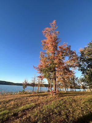
Today, Higden is known for its proximity to Greers Ferry Lake, a popular destination for fishing, boating, and other water-related activities. The town serves as a gateway to the natural beauty of the lake and its surrounding areas, making it a perfect spot for outdoor enthusiasts. Visitors can enjoy the serene atmosphere while exploring the local parks and trails or indulging in a leisurely day at the lake. Higden's unique blend of history and natural beauty makes it a compelling destination for those looking to experience the quieter side of Arkansas.
Nearby cities include: Edgemont, AR, Greers Ferry, AR, Fairfield Bay, AR, Shirley, AR, Heber Springs, AR, Quitman, AR, Tumbling Shoals, AR, Bee Branch, AR, Clinton, AR, Drasco, AR.
Places in Higden
Dine and drink
Eat and drink your way through town.


Can't-miss activities
Culture, natural beauty, and plain old fun.

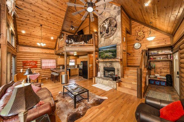
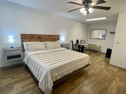
Places to stay
Hang your (vacation) hat in a place that’s just your style.