Corning, AR
Corning, AR Map
Corning is a US city in Clay County in the state of Arkansas. Located at the longitude and latitude of -90.589400, 36.410000 and situated at an elevation of 88 meters. In the 2020 United States Census, Corning, AR had a population of 3,227 people. Corning is in the Central Standard Time timezone at Coordinated Universal Time (UTC) -6. Find directions to Corning, AR, browse local businesses, landmarks, get current traffic estimates, road conditions, and more.
Corning, located in the northeastern part of Arkansas, is a small city known for its rich history and connection to the agricultural industry. Historically, Corning has been a hub for farming and trade, given its location near fertile lands. The city's roots can be traced back to the late 19th century, contributing to its charming, small-town atmosphere that persists today.
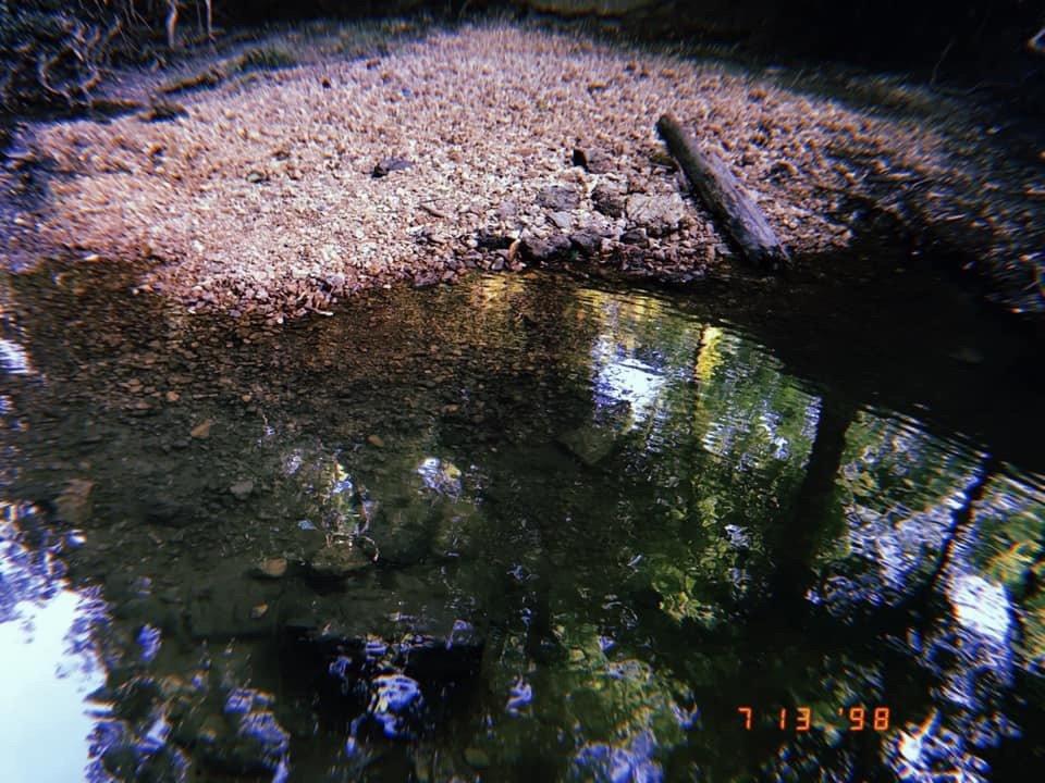
Visitors to Corning can explore attractions like the Corning Heritage Park, which offers a glimpse into the city's past through preserved historical structures and informative displays. The park serves as a central point for community events and gatherings, reflecting the city's tight-knit community spirit. Additionally, Corning embraces the natural beauty of the region, with opportunities for outdoor activities such as fishing and hiking in the surrounding areas, making it a quaint yet intriguing destination for those interested in history and rural Americana.
Nearby cities include: Knobel, AR, Datto, AR, Success, AR, Reyno, AR, Peach Orchard, AR, Neelyville, MO, McDougal, AR, Neely, MO, Naylor, MO, Biggers, AR.
Places in Corning
Dine and drink
Eat and drink your way through town.


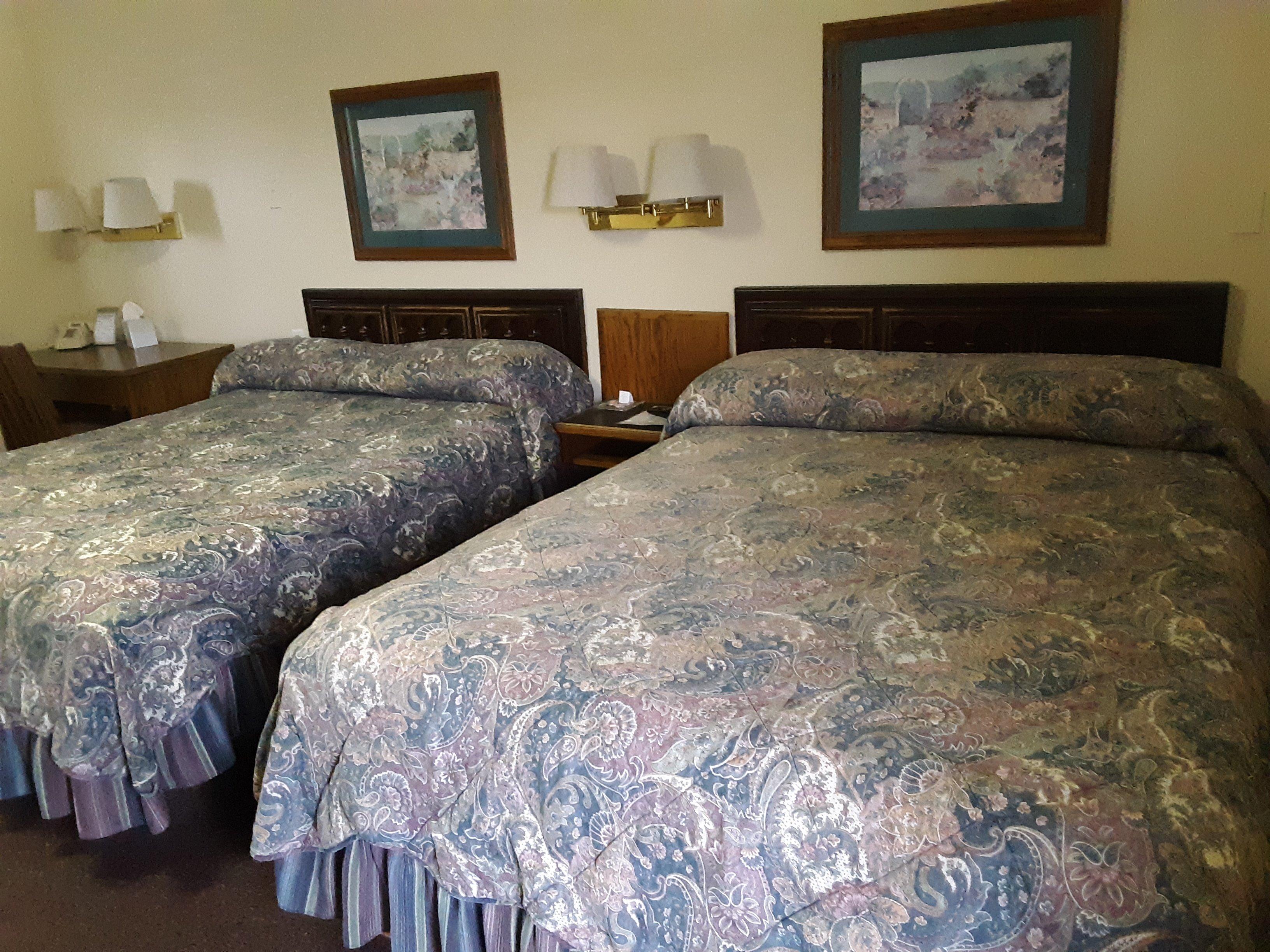
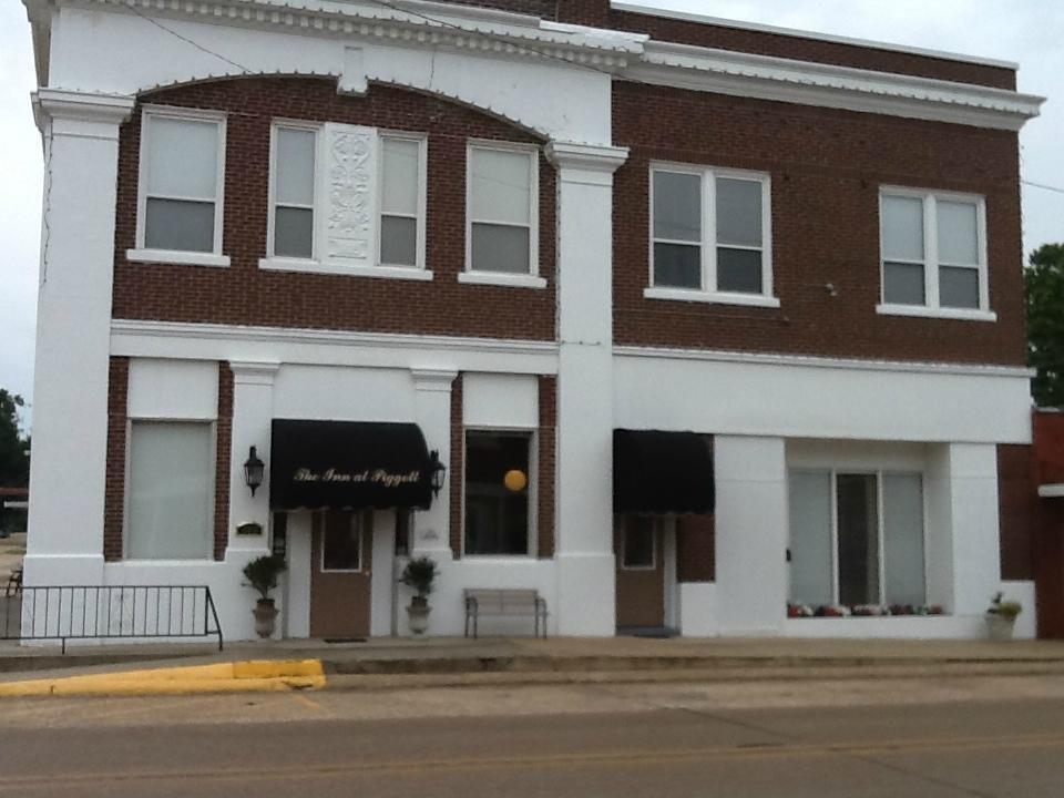
Places to stay
Hang your (vacation) hat in a place that’s just your style.