Cedarville, AR
Cedarville, AR Map
Cedarville is a US city in Crawford County in the state of Arkansas. Located at the longitude and latitude of -94.366880, 35.569810 and situated at an elevation of 239 meters. In the 2020 United States Census, Cedarville, AR had a population of 1,424 people. Cedarville is in the Central Standard Time timezone at Coordinated Universal Time (UTC) -6. Find directions to Cedarville, AR, browse local businesses, landmarks, get current traffic estimates, road conditions, and more.
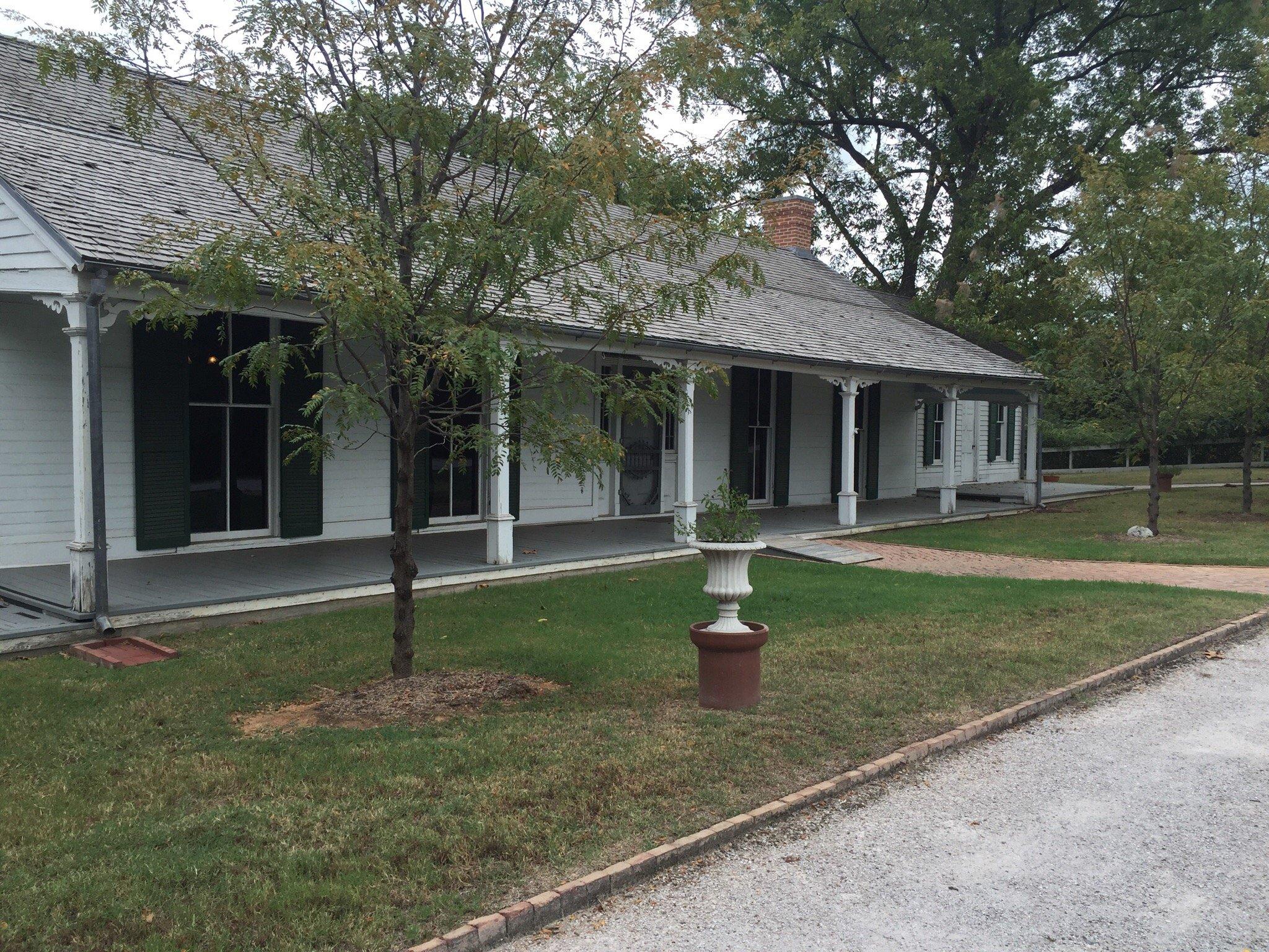
Cedarville, nestled in the scenic landscape of Arkansas, is a city that offers a glimpse of the region's natural beauty and historical charm. Known for its close proximity to lush forests and rolling hills, Cedarville serves as a gateway for outdoor enthusiasts looking to explore the area's hiking trails and natural parks. The city is also home to a number of historical sites that reflect its rich past, with well-preserved buildings and landmarks that tell the story of its early settlers and development over the years.
Among the popular places within Cedarville is the Cedarville Park, a local favorite for family outings and community events, offering a peaceful setting for picnics and leisurely walks. The city's commitment to preserving its natural environment and historical roots makes it a unique destination for those interested in exploring the quieter, more authentic side of Arkansas. Whether you're interested in history or simply seeking a serene escape, Cedarville provides a charming backdrop that captures the essence of the state's rural heritage.
Nearby cities include: Uniontown, AR, Rudy, AR, Van Buren, AR, Alma, AR, Mountainburg, AR, Kibler, AR, Chester, AR, Moffett, OK, Roland, OK, Dyer, AR.
Places in Cedarville
Dine and drink
Eat and drink your way through town.


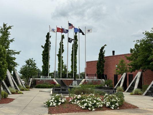
Can't-miss activities
Culture, natural beauty, and plain old fun.


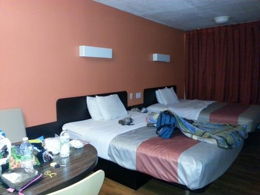
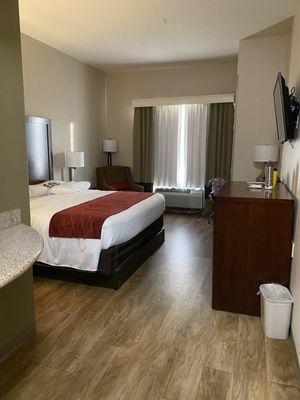
Places to stay
Hang your (vacation) hat in a place that’s just your style.