San Carlos, AZ
San Carlos Map
San Carlos (Western Apache: Sengaa) is a census-designated place (CDP) in Gila County, Arizona, United States. The population was 3,716 at the 2000 census.
San Carlos is the largest community in and the seat of government for the San Carlos Apache Indian Reservation.
San Carlos' economy is underdeveloped and is based mainly on retail service industries, construction trades, and public administration. With 58.8% of the population under the poverty level and a median household income of $13,412, San Carlos remains one of the poorest Native American communities in the United States.
Nearby cities include Bylas, Fort Thomas.
Places in San Carlos
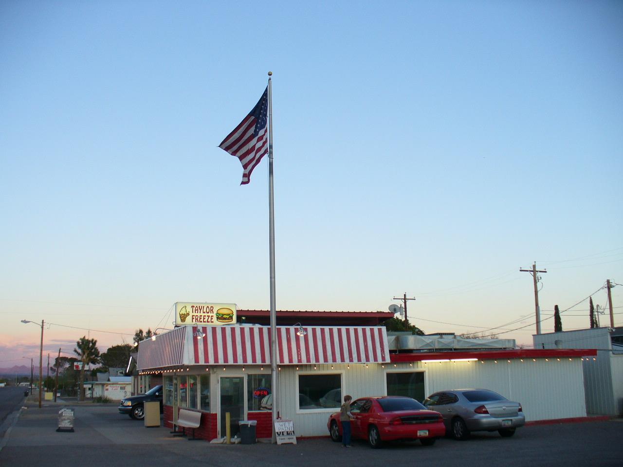
Dine and drink
Eat and drink your way through town.


Can't-miss activities
Culture, natural beauty, and plain old fun.
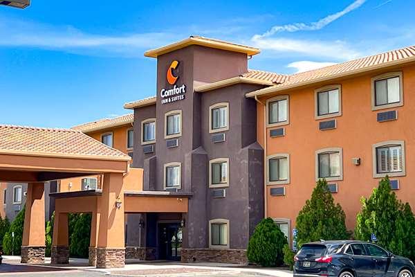
Places to stay
Hang your (vacation) hat in a place that’s just your style.