Sognefjellsvegen
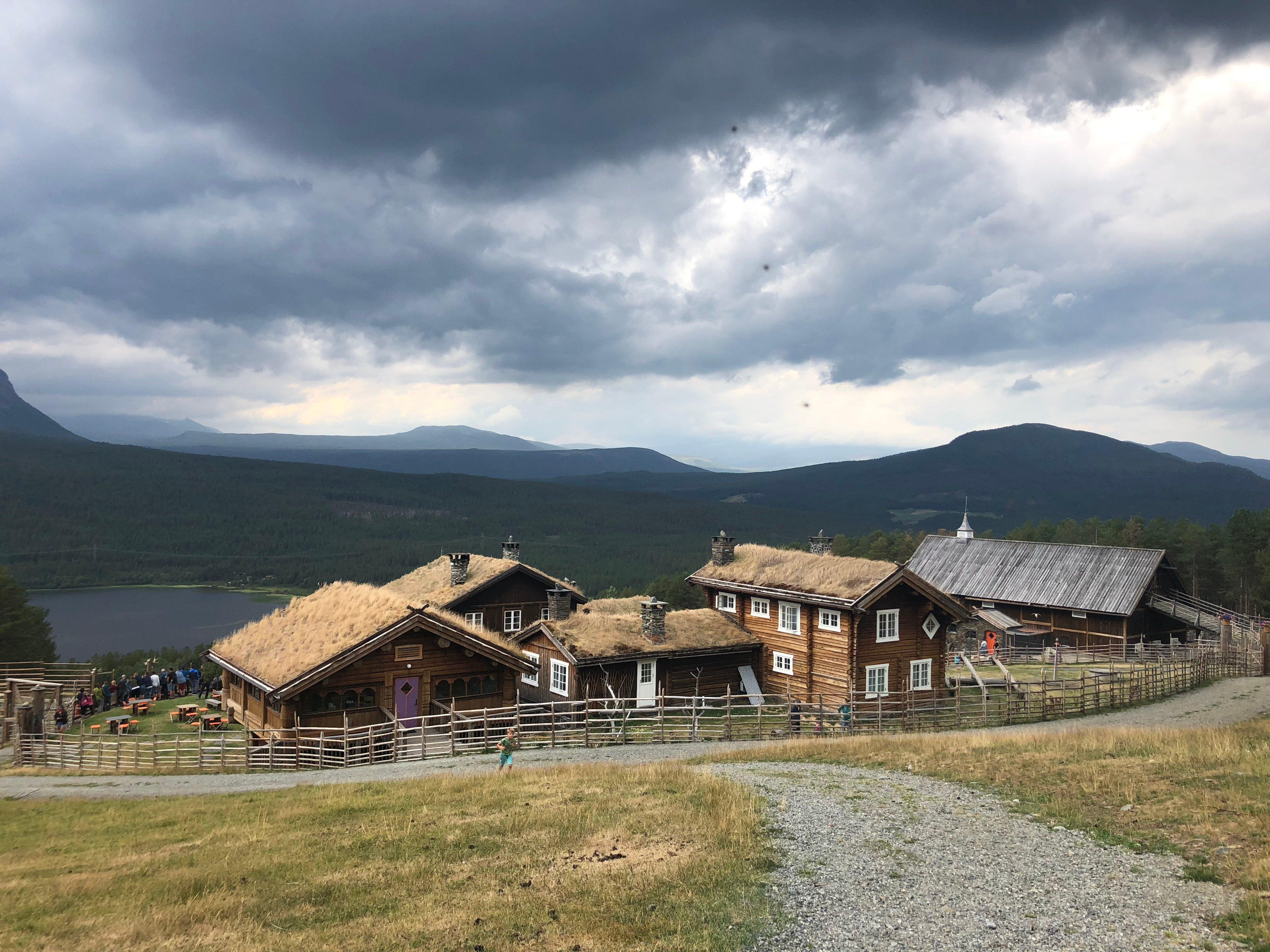
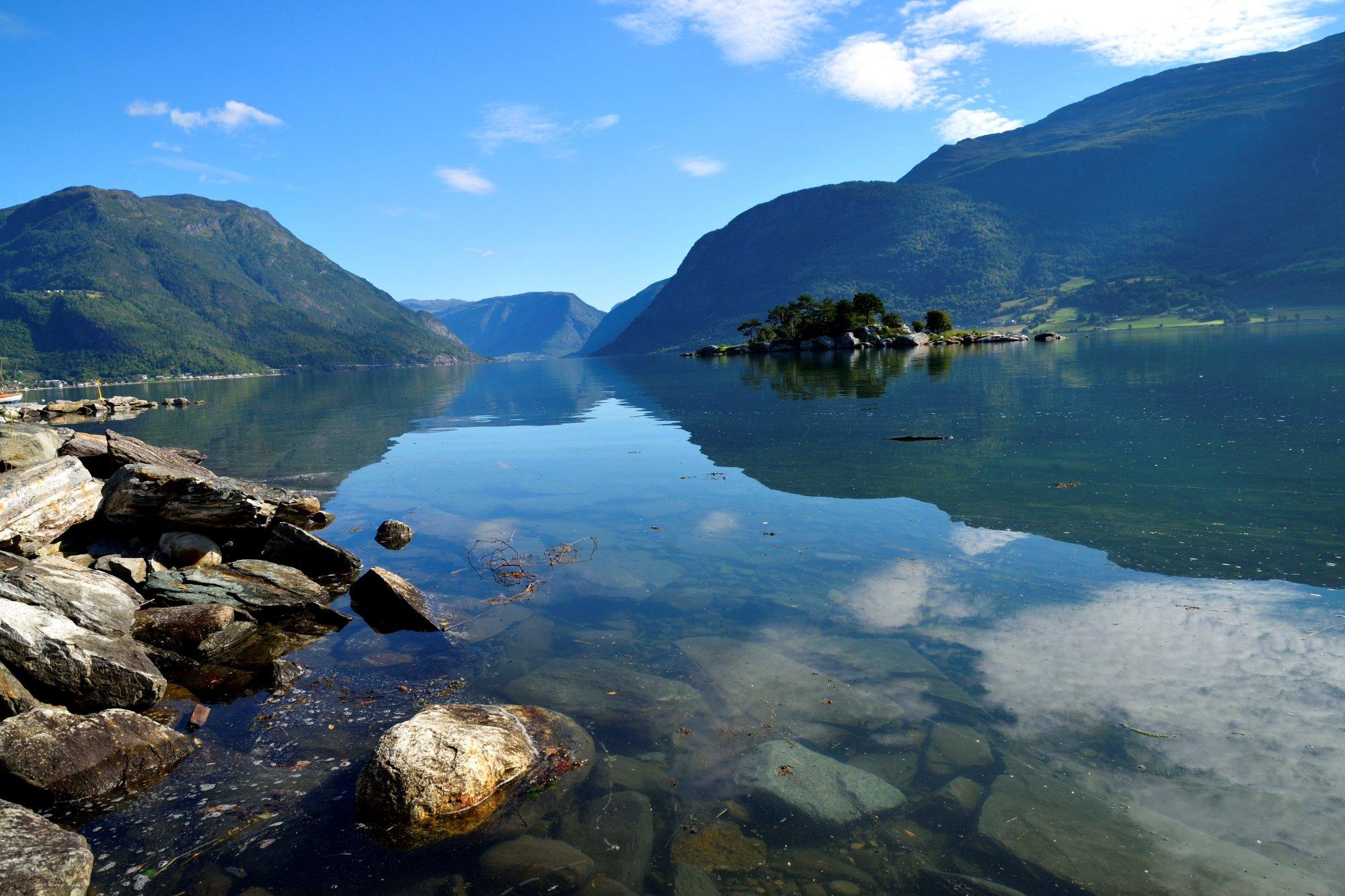
Activities Worth seeing Events Accomondation Transport Eat and drink Useful information Jotunheimen> National tourist routes> Sognefjell Explore the region Click the map to visit the regions Select region Sognefjell - Across the roof of Norway In majestic surroundings, high in the mountains past blue ice, jagged peaks and emerald lakes, the Sognefjell Road runs between Sognefjord, the world’s longest fjord, and the Gudbrandsdal valley. The Sognefjell Road was designated Norway’s first tourist route in 1997 and has just been upgraded to a National tourist route in 2003. The Sognefjell Road has carried traffic since time immemorial. Fish and salt from the west and butter, hides, iron and tar from the east were carried by people on their shoulders or on horseback. The cairns helped travellers find the way in all kinds of weather. The Sognefjell Road gives you access to Jotunheimen National Park, with Galdhopiggen, Norway’s highest mountain, and several of the other of the highest peaks in Norway, and to Jostedalsbreen, Norway’s largest glacier. Here your can poke about on your own among soaring peaks, take a tour over glaciers and mountain tops with experienced guides, and go skiing all year round. The route between the inland valley, high mountains and fjord offers breathtaking contrasts in climate and topography and a variety of plant and animal life, from lower elevations with farms, pine forests and the conditions for human settlement to the alpine terrain approx. 1,000 metres above sea level. Up here you’ll find bare rock with clear traces of the last Ice Age, with grass, moss, lichen interspersed with juniper and willow. Here you’ll also find hardy polar plants such as arctic buttercup, with mountain birch here and there. Wild as well as tame reindeer live on Sognefjell, and down towards the valleys there are moose and deer. In the high mountains, eagles and rough-legged buzzards thrive. In eastern regions there may be bears, lynx and wolverines, though they are few and very shy. For more informaton on the touristroutes