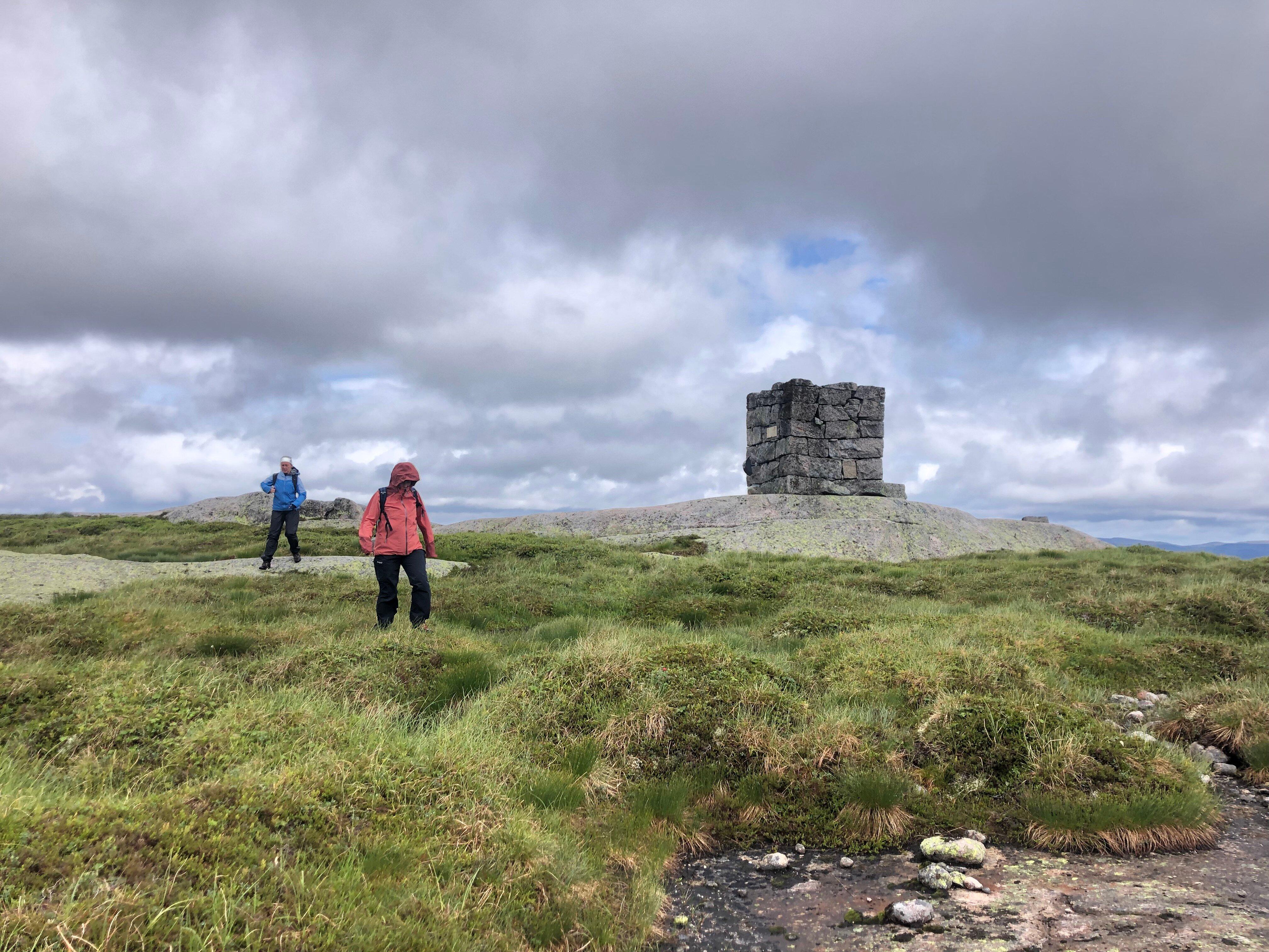
Krågeland Alpinsenter

560 Kraagelandsvegen
4473
We have a perfect downhill skiing area during the winter with a cozy warm cafe, where you can buy food, snacks and beverages. We also offer afterski with alcohol and live music (followed by the national COVID regulations). During the summer, we arrange concerts and other nice happenings for families and adults! We`re surrounded by a beautiful norwegian majestic mountain scenery!
Own this business?
See a problem?

You might also like

Summit of Vardefjell

Starting Point: from Haughom head towards Ovedal travelling past oksendal through oksendalen, take the toll road to Listol, for approximately 1.5 km to the parking lot at the end of this road. Make sure you close all gates behind you as sheep graze in this area. Description: from the parking area at the foot of Vardefjell, travel on the wide path across the bridge that crosses the stream. Head towards the bog, you can cross using the boards that have been placed there for you. You will pass two small round tarns on the left hand, when you are parallel to the inner tarn you will leave the marked trail which runs in a south-westerly direction from power pylons on your right hand. Cross a small bog, and go up the small hill. Follow the path parallel to the pylons for a short distance, until you come to a round tarn on the left hand-side, where the path turns to the mast again. You pass a marsh on the left and cross under power lines which is at the beginning of the 100 meter ascent to the top. Follow the stone cairns up the mountainside. You have great views of Ovedal on the way up. At the top you will reach a small tarn on the right hand, and the great stone cairn is located next to the tarn. Allow about 30 minutes from the parking lot to the top. If you prefer another way for the descent, you can continue in a northwesterly direction until you get to a vantage point from which you travel down into the oksendalen valley travel around the mountains north side back to the masts and the way in which you are come up. For a detailed description including maps and information etc buy the guidebook 'Hiking in Sirdal' which includes Kjerag and Sirdals Seven Summits
Bergehei

Bergehei

Starting point: from the center of Tonstad head towards Josdal. Park in the parking lot at Josdalstippen, which is after the 'Indre Skjorbutjodn' on the right. Remember it is pay and display so don't forget your change. Route Description: from the carpark continue to walk across the narrow paved road. After about 10 minutes, the road splits, turn right on to the dirt road in a southerly direction. Follow the gravel road upto the cabin area, after an additional 10 minutes the road will end at a private parking space. Continue along the path upwards following the stream. After approximately 10 minutes of climbing on rocky terrain the terrain changes and alternates from marsh land to heather and then the ground splits so keep to the right. Cross the marsh at the north tip of the Magevatnet and walk along/parallel with the northernly Magevatnet which will be on the left handside. At the end of the northern lake turn east (to your left) and the route between the two lakes. Walk over a bridge, before turning south along the southern Magevatnet which will now be on your right handside. At the end of the lake another path crosses yours, here, go southeast along the creek down the left side. First on the rocks, then over the marsh. The trail not visible because of the marshlands but after about 7 minutes walk, turn left a short distance, until you see a cabin on your left handside. From here continue south east around a small hill until you come to two farm buildings. From the farms continue in the same direction up a small glen until you come to a swamp and the terrain flattens out. Turn north (left) along the narrow path travel up Budals rise. You will pass a small tarn on the right handside, and after about 20 minutes walking the path splits, here turn southeast (right) along the edge of the mountain. After about 10 minutes, leave the trail, try and find your own way up the mountain to the summit, which is about 20 minute walk in an easterly direction. You will walk for some distance on this beautiful pathway before the top, and from here you have 360 degree views of both the northern and southern Sirdal moors, Kvinesdal, as well as Lyngdal (south).
NorwayKrågeland Alpinsenter